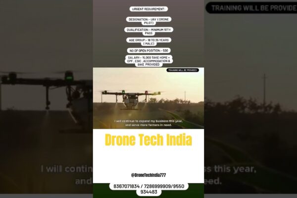
High-Flying Careers: Farm Drone Pilot Jobs! 🚀
Unlock ag-tech’s future! 🚀 Discover the booming world of drone pilot jobs, training, and career opportunities in modern farming. Click to learn more! 🌾

Unlock ag-tech’s future! 🚀 Discover the booming world of drone pilot jobs, training, and career opportunities in modern farming. Click to learn more! 🌾

Revolutionize roofing with drone technology! 🚀🏠 Enhance safety, accuracy & client trust. See how aerial intelligence elevates your business. Click to learn!

Epic drone flips: Thrilling artistry or risky gamble? 🚀⚠ Master the 360° maneuver, understand the risks, & fly responsibly. Learn more!
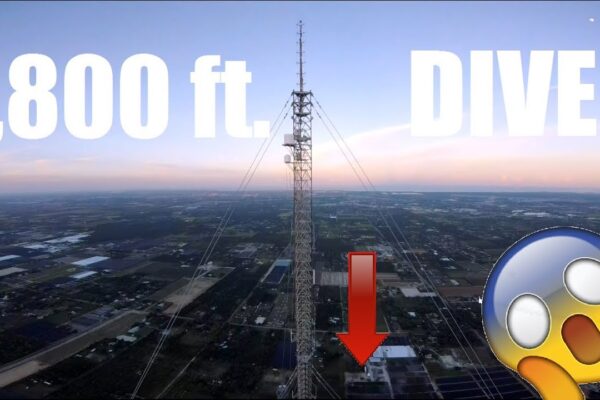
Unlock “insane” drone skills! 🚀 We dissect viral FPV freestyle, precision piloting, & creative stunts. Learn the secrets behind the buzz. 🎓

Discover the electrifying world of drone stunts! 🚀 Learn FPV techniques, cinematic aerials, & safety tips from cutting-edge stunt pilots. ⚡
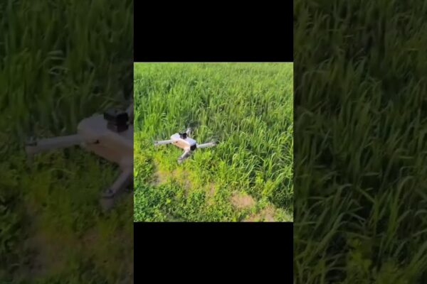
Drone stunts: Thrilling highs, epic crashes! 🚀⚠ Explore the skill, risk, & responsibility of aerial acrobatics. Learn before you fly!
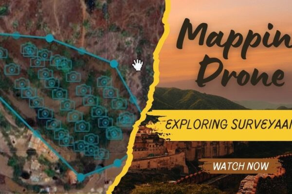
Master Surveyaan V1: Ensure pinpoint drone surveying accuracy through calibration, updates & flight log analysis. Unlock precision! 🚀📍✅
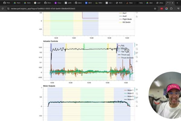
Decode your drone’s flight data! 🚀 Learn PX4 log analysis & become a safer, data-driven pilot. Unlock key performance insights. Click to learn! 🔍

Drone film is revolutionizing cinema! 🚀🎬 Explore how aerial perspectives & AI are transforming storytelling. Learn about this evolution.
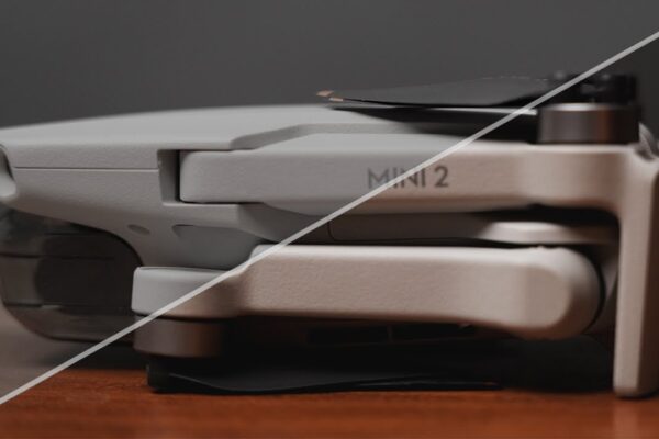
Unlock your drone’s secrets! 🚀 Interpret flight logs like a pro – boost safety, diagnose issues, & master data-driven piloting. Learn how! ✅

Witness stunning 4K 60FPS aerial footage from the DJI Air 3S! 🚀 Unedited clarity, long-range flights & dynamic range. Learn from pilot insights! 🗺
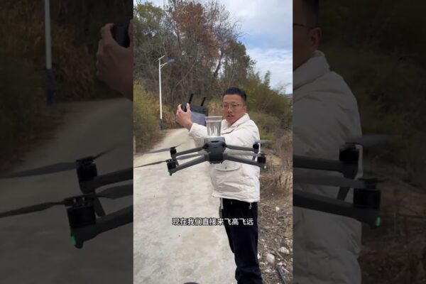
Elevate your perspective! 🚀 Learn cinematic drone moves, see stunning 4K aerial footage, & discover the impact of drone technology. Click to explore! 🗺