Drones are revolutionizing landscape design, offering unprecedented aerial perspectives and efficiency. Imagine soaring above your property, capturing intricate details of the terrain, plant life, and existing structures. This allows for precise measurements, detailed mapping, and a comprehensive understanding of the landscape, all from a bird’s-eye view. The videos highlighted below showcase how drone technology is transforming the way we approach landscape design, from initial planning to final execution, offering a glimpse into the future of this dynamic field. These insights provide a practical understanding of how drones are being used to enhance design, streamline workflows, and ultimately, create stunning and functional outdoor spaces.
Key Takeaways from Drone-Powered Landscape Design Videos
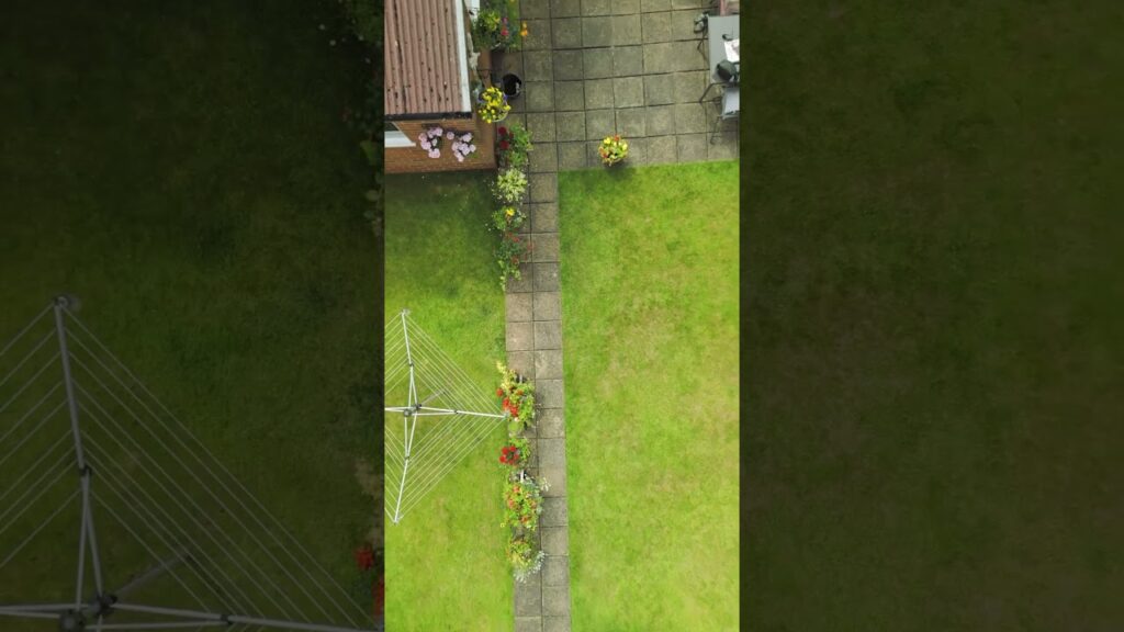
- Detailed Site Assessment: Drones provide a comprehensive, high-resolution view of the entire landscape, enabling designers to accurately assess existing conditions, identify challenges, and pinpoint optimal locations for features like water features, trees, and pathways. This detailed assessment is crucial for efficient planning and cost-effective implementation.
- Before & After Visualization: Drone footage effectively captures the transformation of a landscape project, showcasing the impact of design choices and the final aesthetic. This visual documentation is invaluable for client communication and project presentation.
- Precise Measurements & Mapping: Drones equipped with advanced sensors can generate precise measurements and detailed maps of the landscape. This data is invaluable for accurate calculations of materials, efficient planting strategies, and precise placement of structures.
- Enhanced Communication & Collaboration: Drone footage facilitates seamless communication between designers, contractors, and clients. The ability to share high-quality aerial imagery and videos allows for a shared understanding of the project’s progress and potential challenges.
- Efficiency & Time Savings: Drones can significantly reduce the time and resources required for traditional surveying and site assessments. This efficiency translates into cost savings and faster project completion.
- Creative Applications: The videos demonstrate the versatility of drones in capturing unique perspectives and showcasing the artistry of landscape design. From intricate pond ecosystems to expansive gardens, drones offer a unique and engaging way to present the final product.
Beyond the Horizon: Future Trends in Drone-Powered Landscape Design
The integration of drone technology in landscape design is rapidly evolving. We’re likely to see even more sophisticated applications in the future, including:
- Automated Planting & Maintenance: Imagine drones equipped with robotic arms for precise planting and automated maintenance tasks, like trimming hedges or weeding. This could revolutionize the efficiency and cost-effectiveness of landscape upkeep.
- Real-Time Monitoring & Analysis: Drones equipped with advanced sensors could provide real-time data on plant health, soil conditions, and water usage. This data-driven approach will allow for proactive management and optimization of landscape resources.
- Interactive 3D Models: Drone-captured data can be used to create highly detailed 3D models of landscapes, allowing clients to visualize the project in a realistic and immersive way. This enhances client engagement and understanding.
Drone-Powered Design: A New Era of Landscape Aesthetics
The videos highlight the transformative potential of drone technology in landscape design. From detailed site assessments to stunning aerial visualizations, drones are revolutionizing how we approach and execute landscape projects. The efficiency, precision, and creative possibilities offered by drone technology are reshaping the landscape design industry. To see these innovative applications in action, scroll down to view the video highlights.
Watch the selected videos below


