Unveiling Precision in Land Mapping with Specialized Drones
Specialized surveying drones are revolutionizing the way we map and understand the Earth’s surface. These advanced aerial vehicles, outfitted with sophisticated sensors, provide unprecedented detail and speed in gathering data. This recent webinar showcases how one such drone, the Marlyn Cobalt, excels at precisely capturing and interpreting the terrain, paving the way for efficient and accurate cadastral mapping. From collecting vast datasets of thousands of images, to meticulously processing the resulting 3D models, these drones bring incredible efficiency to land mapping. We’ll delve into how this technology is impacting industries from land management to urban planning, emphasizing practical implications and the potential for further advancements. Prepare to explore the future of precise and rapid land surveying, with the practical, professional, and safety-conscious approach you’ve come to expect from this channel.
Key Takeaways
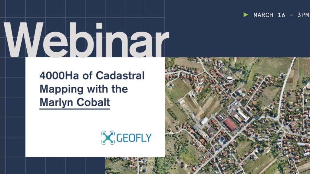
- High-Scale Cadastral Mapping: The Marlyn Cobalt drone, used in the featured webinar, effectively mapped over 4,000 hectares (10,000 acres), highlighting the capacity for comprehensive surveying in extensive areas. This translates to enormous efficiency savings and potentially significant cost reductions for organizations involved in cadastral surveying.
- VTOL Drone Advantages: The video underscores the benefits of Vertical Take-Off and Landing (VTOL) drones for mapping, particularly regarding wind resistance and overall flight maneuverability. This adaptability enhances mission flexibility and resilience, allowing for varied flight conditions and optimized mission planning.
- Improved ROI: The discussion focuses on the cost-benefit analysis, showcasing how efficient data acquisition can lead to a rapid return on investment for surveying projects. This is crucial for industries aiming to optimize resource utilization.
- Enhanced Data Capture: The demonstration indicates the ability to collect massive amounts of high-resolution imagery (74,000 images in this case) for processing and creating detailed 3D models, leading to greater accuracy in mapping and potentially even supporting the precision agricultural sector.
- Integration with Software and Ground Control: While not explicitly detailed, it is strongly implied that efficient integration with specialized software and ground control points are crucial to successfully deploying these high-performance systems, thus suggesting the value and necessity of quality post-processing in such projects.
Advanced Mapping, Efficient Data Capture: Shaping Future Land Use
The efficiency of this type of surveying drone reflects broader trends in utilizing unmanned aerial systems (UAS) for complex spatial data collection. As technology advances, we can anticipate the deployment of even more specialized sensors and software capable of handling an increasingly wide range of mapping applications. We anticipate improved sensor calibration and integration with robust cloud-based data processing systems, driving further efficiency gains in data processing time, facilitating faster project delivery cycles and allowing businesses and government entities alike to leverage insights from collected data in a significantly quicker timeframe. These advancements are promising in accelerating progress in several fields and creating more informed, evidence-based decisions.
Join the Revolution: Discover Surveying Drones
Explore the future of land mapping with a quick and insightful video walkthrough of cadastral mapping. Learn how specialized surveying drones like the Marlyn Cobalt are reshaping land surveying, boosting efficiency and paving the way for innovation in related fields. Dive into the video insights for a comprehensive understanding of the latest in land mapping technology and its impact on various industries. Click here to watch now!
See the hand-picked videos below
