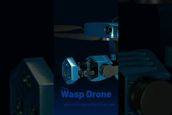
Autel EVO II 640T V3: Thermal Drone Insights & Applications 🌡️
Autel EVO II 640T V3 thermal drone review 🔎: Explore its impressive imaging, user-friendly interface, & real-world applications. Click to learn more! 🔥

Autel EVO II 640T V3 thermal drone review 🔎: Explore its impressive imaging, user-friendly interface, & real-world applications. Click to learn more! 🔥
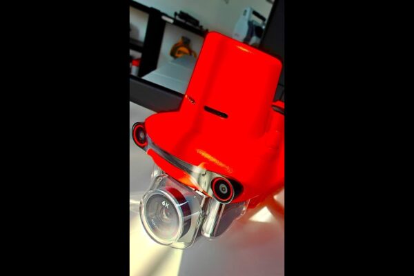
Autel EVO II Pro Enterprise V3 takes flight! 🚁 See how this drone tackles wildlife management, surveying, & more. A DJI rival? Click to explore its REAL impact.
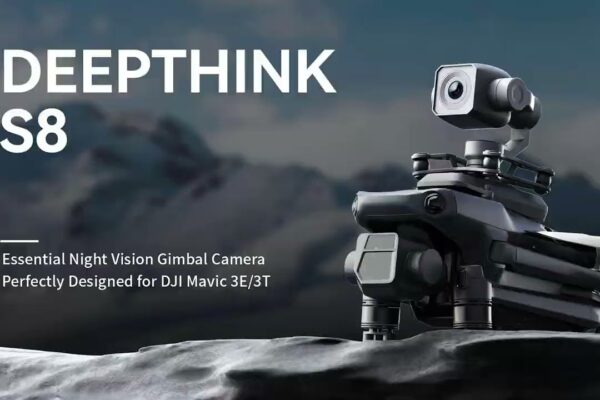
Revolutionizing night flight! 🚀 See the Deepthink S8’s stunning full-color night vision in action for DJI Mavic 3 Enterprise drones. Learn more!
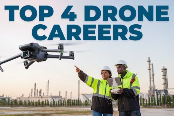
Discover the top drones & software transforming infrastructure inspection! 🏗️ See how AI, thermal imaging, and 3D mapping are revolutionizing maintenance. Click to learn more!
Unlock the power of DroneDeploy! 🗺️ Discover how this game-changing software simplifies drone mapping for projects of all sizes. Learn about cost-effective options & high-accuracy results. Click to learn more!
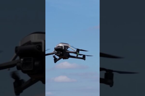
DJI Mavic 3 Enterprise RTK: Night vision 🌃, precision & adaptability. Explore third-party payloads, enhanced safety features, and groundbreaking applications. Click to learn more!

Unlock the secrets of drone surveying! 🚁 Explore top drones, master GCPs, and create stunning orthomosaic maps. Learn from the pros and elevate your projects. Click to learn more!
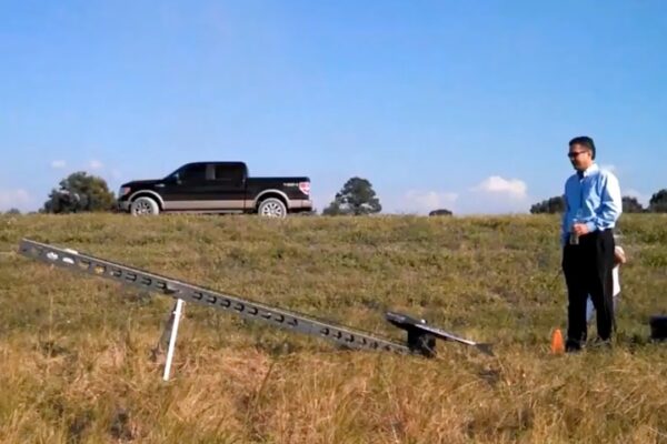
Take your surveying to new heights! 🚁 Learn time-saving drone techniques & software from top YouTube tutorials. Boost accuracy & dominate your workflow. Click to learn more!

Unlock the power of drone surveys! 🗺️ Learn how to map anything from landscapes to hidden artifacts with aerial photogrammetry & magnetometry. Click to explore the future of surveying.
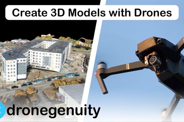
Revolutionize site surveys with drone mapping! 🚁 Explore how orthomosaic maps & 3D modeling are streamlining workflows & boosting accuracy. Click to learn more!

Drones 👁️ revolutionize inspections! See how AI-powered autonomous flight is transforming predictive maintenance for wind turbines, ships, telecom, & more. Click to learn!
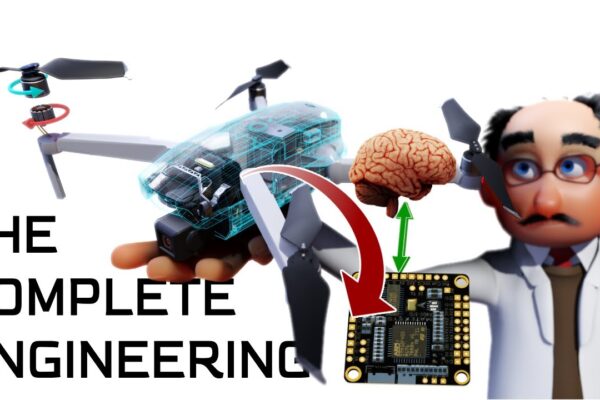
Drones revolutionize construction! 🏗️ See how they enhance project management, improve safety, & enable data-driven decisions. Click to learn more!