
See War: Drone Mapping Secrets 📍
Unlock war zone secrets! 🔓🗺️ Consumer drones & free software reveal hidden truths via DIY OSINT mapping. Explore the digital battlefield now.

Unlock war zone secrets! 🔓🗺️ Consumer drones & free software reveal hidden truths via DIY OSINT mapping. Explore the digital battlefield now.

New front line: Your home. Drones map everything. See the OSINT tech turning backyards into digital battlefields. Learn the threat. 🗺️🔥📍

See how drones are revolutionizing construction! Boost safety, map sites, track progress, & explore 3D printing futures. Click for insights! 🛠✅🚀

Drone surveying: 🚀 revolutionizing topography with precision & speed. See how drones map terrains 🗺️, saving time & money. Click to learn more!
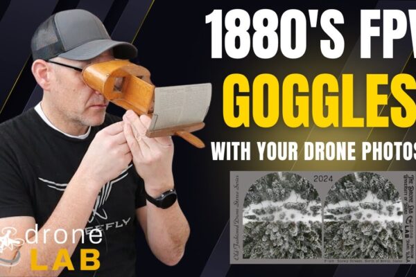
🚀 Drone mapping revolution! AI & tech redefine aerial data capture. 🗺️ 3D models, accessible software, & multi-sensor insights. Click to learn more!
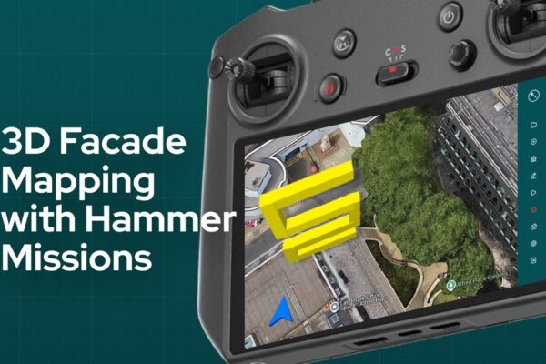
Unlock precision in construction & inspections! 🚀 3D drone mapping delivers instant, accurate models & identifies issues early. Learn how to leverage this tech now.

🚀 Drone-powered solar mapping! ☀️ Revolutionize solar energy with aerial irradiance data. See how drones are taking flight! Click to learn more!

LiDAR vs. Photogrammetry: Unlock drone surveying secrets! 🚀🗺 Learn which tech wins for speed, accuracy & 3D modeling. Master your flights!

Unlock drone land surveying accuracy! 🚀 Learn LiDAR, photogrammetry, & GCPs for survey-grade results. Elevate your precision. ✅
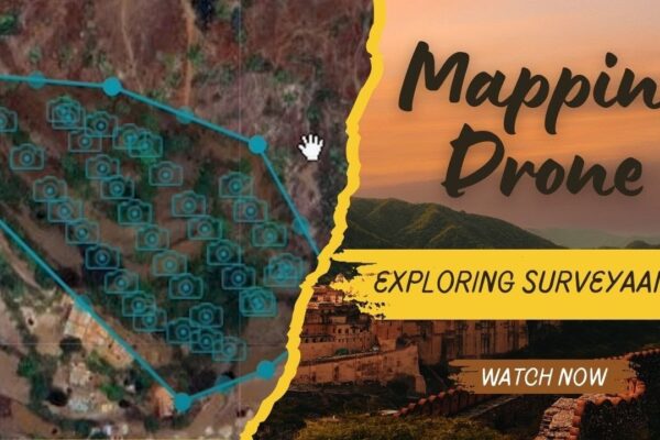
Master Surveyaan V1: Ensure pinpoint drone surveying accuracy through calibration, updates & flight log analysis. Unlock precision! 🚀📍✅
Unlock $2M drone niches! 🚀 Biz hacks from the sky. Drone mapping for inspections, surveying, & 3D models. 💰 Niche down to cash in. Learn more now!
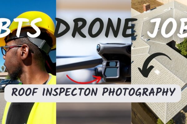
Drone mapping 🚀 skyrockets! Unlock high-precision spatial data & profitable niches. DIY tips & million-dollar insights await. Click to learn more!