See War: Drone Mapping Secrets 📍
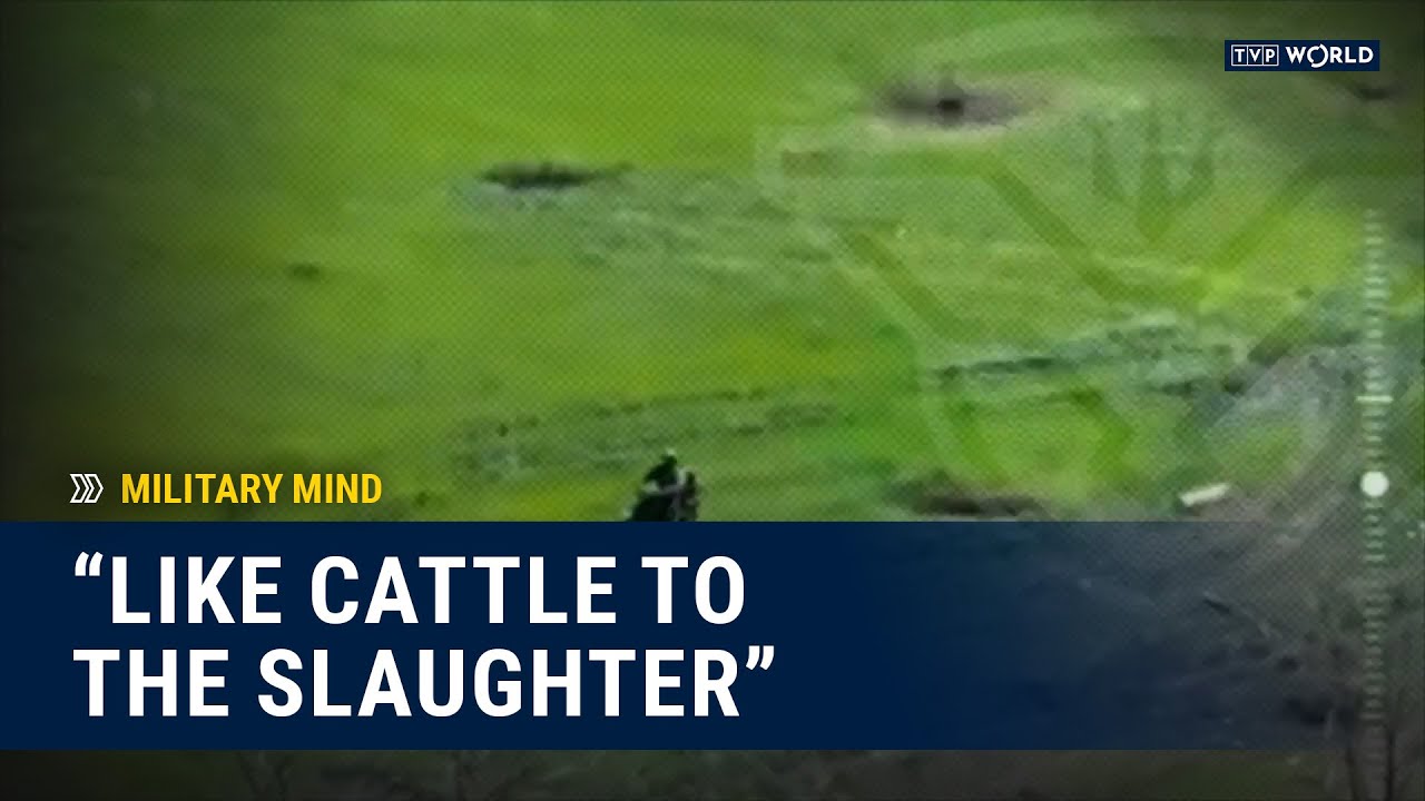
The skies above us hold secrets. Secrets whispered on the wind, etched onto the earth, and now, captured by the ever-watchful eyes of drones. This new era of open-source intelligence (OSINT) is transforming how we understand conflict, revealing hidden truths and providing critical insights into the complexities of modern warfare. The following analysis delves into a recent YouTube video demonstrating how readily available drone technology combined with freely accessible software like Google Earth can be utilized to create detailed orthomosaic maps – essentially, high-resolution aerial images corrected for perspective distortion. This democratization of mapping technology has profound implications for understanding and potentially impacting conflicts worldwide.
Deconstructing the Digital Battlefield: Key Insights
- DIY Geo-Intelligence: The video "Google earth, at home. Making orthomosaic imagery with a consumer drone #osint #geoint" highlights the accessibility of advanced mapping techniques. A consumer-grade drone, coupled with readily available software, empowers individuals to generate detailed orthomosaic maps, traditionally the domain of governments and specialized organizations.
- Democratization of Data: This shift towards accessible drone technology and mapping software democratizes the collection and analysis of geospatial intelligence. Non-governmental organizations, journalists, and even concerned citizens can now contribute to understanding complex situations, potentially challenging official narratives and holding power to account.
- Potential for Impact: The implications for conflict zones are significant. Imagine verifying claims of troop movements, documenting evidence of human rights abuses, or mapping the destruction of civilian infrastructure – all through the lens of a civilian drone. This information can be crucial for humanitarian aid efforts, investigative journalism, and international legal proceedings.
The Unfolding Map: Trends and Implications
The convergence of drone technology, user-friendly mapping software, and widespread internet access signifies a paradigm shift in OSINT. As drone technology continues to advance – becoming more affordable, easier to operate, and equipped with higher resolution cameras – the potential for civilian-led investigations and real-time analysis of conflict zones will only grow. This trend raises critical questions about the future of information warfare, the role of citizen journalists in conflict reporting, and the ethical considerations surrounding the use of drone-derived intelligence.
The Journey Continues: Dive Deeper
This is just the beginning. Scroll down to delve deeper into the video highlights and explore the practical applications of drone mapping in understanding modern conflict. The secrets the drones reveal are waiting to be uncovered.
Check out the videos below