
DJI Mapping Revolution 💡 FREE
Unlock FREE drone mapping! 🚀 Transform your DJI Mavic, Air, or Mini into a precision machine. Create stunning 2D/3D maps & models. 🗺️ Learn how!

Unlock FREE drone mapping! 🚀 Transform your DJI Mavic, Air, or Mini into a precision machine. Create stunning 2D/3D maps & models. 🗺️ Learn how!

Unlock FREE enterprise-level drone mapping with DJI! 🔓 Learn how to bypass expensive software & create professional maps with your existing fleet. See it in action! 📹
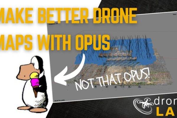
Drone Map Perfection: 🎯 Survey-grade accuracy & alignment via OPUS. Click to learn how!
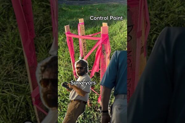
Unlock Drone Map Accuracy! 🗝️ Master GCPs & create perfect maps. Video guide inside – click now!
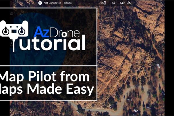
Master Drone Precision ✅🎯: Flight paths for accurate mapping & 3D. Click to become a drone expert!
🚀 Drone terrain mapping: Unlock detailed maps & 3D models! 🗺️ Free, accessible tech for hobbyists & pros. Learn more now!
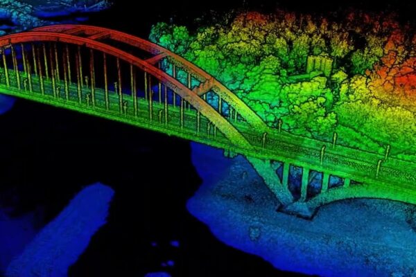
Unlock drone mapping secrets! From GCPs to LiDAR, master terrain intelligence & revolutionize construction, surveying & more. Learn now! 🚀🗺

🗺️ Drone Terrain Mapping! 🚀 Revolutionize analysis with DIY mapping, LiDAR, & advanced 2D post-processing. Unlock insights & potential. Click to learn more!

Unlock aerial intelligence! 🤖 Drone data processing revolutionizes insights. From crop health to 3D models, see what’s possible. 🚀 Click to explore the future of flying data!
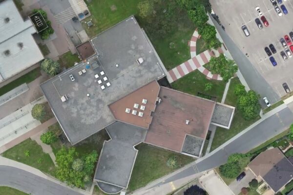
DroneDeploy: 🚀 Revolutionize construction! Aerial data drives smarter, faster projects. See the future of building from above! 🏗️👍

🚀 Unlock drone mapping secrets! Free tools & expert insights for pro-level 2D/3D maps 🗺️ Beginner-friendly guides & LiDAR precision. Click to learn more!

Unlock aerial insights! 🗺️ Map Pilot Pro democratizes drone mapping, empowering hobbyists with DJI drones & smartphones to create detailed 2D/3D maps for free. 🚀 Click to explore the revolution!