 4K UHD
10m
Miscellaneous
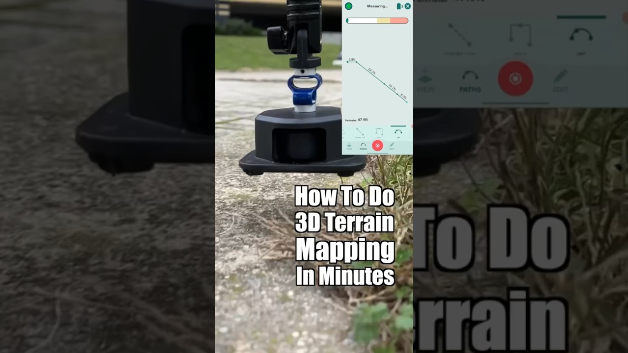
Drone Mapping & Topography: A High-Flying Look at Land Surveying 🗺️
High-flying precision! ✈️ Drone mapping & topography reveals hidden details. LiDAR accuracy, expert pilots, & efficiency. Learn more!…


