DJI Terra: Revolutionizing Geospatial Data Capture 🌍
Senior Associate Copy Editor
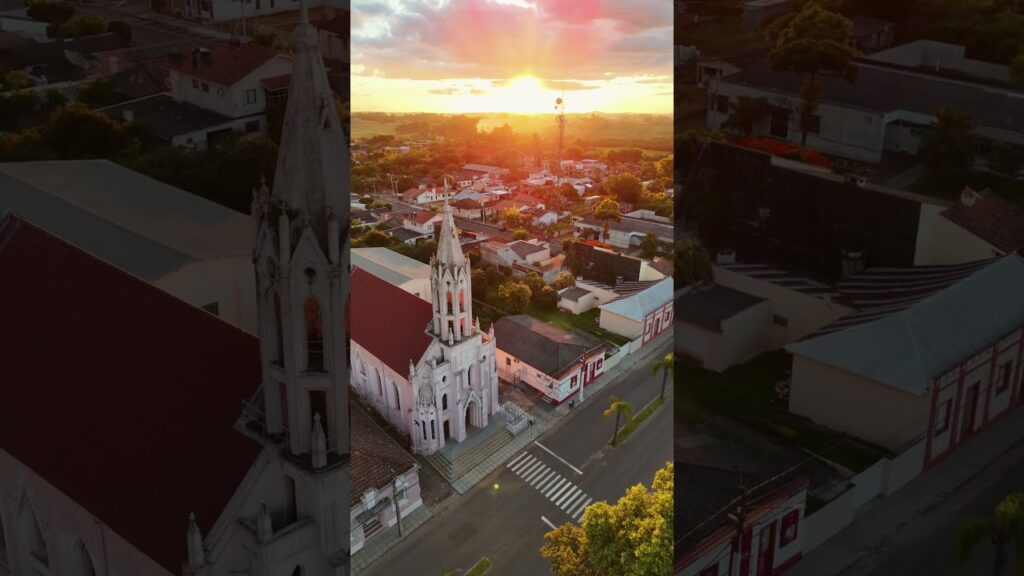
Unlock geospatial power with DJI Terra! See how users transform drone data into real-world insights. Click to explore!
Soaring into Precision: Unpacking DJI Terra’s Geospatial Power 🌍
As a long-time drone enthusiast and editor for Altitude Insights magazine, I’ve witnessed firsthand the evolution of aerial data capture. But lately, the buzz around DJI Terra has been impossible to ignore. It’s not just another software; it’s a powerful engine driving a revolution in how we understand and interact with our world geospatially. I’ve been digging through the latest on YouTube, and the insights are fascinating, painting a vivid picture of its capabilities. These videos aren’t just about pushing buttons; they’re about transforming raw aerial imagery into actionable intelligence, revealing hidden details and unlocking new perspectives. Whether you’re mapping a sprawling construction site, meticulously documenting historical landmarks, or even just crafting a stunning 3D model of your backyard, DJI Terra is changing the game. Let’s dive into what the community is discovering.
Key Insights from the Field:
Effortless 3D Modeling is Now a Reality (Video 1: How To Create a 3D Model With Your Drone Using DJI Terra): This video really showcases how intuitive DJI Terra makes the process of turning drone footage into detailed 3D models. We’re talking about going from capturing the data to a textured model with impressive ease. Imagine flying a mapping mission – the hum of the rotors, the crisp images streaming onto your tablet – and then, with just a few clicks in Terra, seeing that data materialize into a virtual replica. The video highlights the entire workflow, from flight planning to final processing, emphasizing the seamless integration within the DJI ecosystem. They even touch on optimizing for different drones, a critical point for us hobbyists with varied fleets!
DJI Terra is the Cornerstone of Enterprise-Level Digital Transformation (Video 2: Innovative Port Management: Portcoast’s Digital Transformation Journey REVEALED): This isn’t just for hobbyists anymore. This video dives into the professional application of DJI Terra in port management, showcasing how the software, paired with enterprise-grade drones like the M350 RTK and high-resolution sensors like the Zenmuse P1 and L2, is driving significant efficiency gains. Think about the complexity of a port – cranes towering against the skyline, ships navigating intricate channels, vast container yards. DJI Terra helps create a digital twin of this environment, allowing for precise measurements, volumetric analysis, and improved decision-making. You can practically feel the weight of those shipping containers as they’re rendered with such accuracy.
Preserving Heritage, Pixel by Pixel (Video 3: Can You Identify This? Real Heritage or Impressive Drone-Based 3D Model? & Video 4: Transforming History into 3D: The Leshan Giant Buddha): These videos are truly inspiring. They demonstrate the power of DJI Terra in meticulously recreating culturally significant sites. Imagine the Leshan Giant Buddha, that immense statue carved into a cliffside, now brought to life digitally with millimeter-level precision thanks to thousands of aerial photographs processed through Terra. The ability to create such accurate 3D models is invaluable for preservation efforts, allowing us to study and document these treasures in incredible detail. You can almost feel the ancient stone beneath your fingertips as you explore the virtual models. This is where the technology transcends simple mapping and becomes a tool for safeguarding our shared history.
The Industry Recognizes Terra’s Impact (Video 5: Intergeo Day 1: Inspiration for a Smarter Geospatial World! 🌍): Seeing DJI Terra highlighted at a major geospatial event like Intergeo speaks volumes about its importance in the industry. This video captures the energy and excitement around the latest innovations, placing DJI Terra squarely in the spotlight. It reinforces the idea that this software isn’t just a niche tool; it’s a central component of the evolving geospatial landscape.
Tackling Tough Terrain with Precision (Video 6: Navigating Tough Terrain: How DJI Zenmuse L2 Transforms Coastal Road Surveys): This video is a fantastic example of how DJI Terra handles challenging real-world scenarios. Surveying a coastal road in a mountainous, densely forested area presents significant obstacles. The integration with the Zenmuse L2 LiDAR sensor, combined with DJI Terra’s processing capabilities, allows for incredibly accurate data collection even in difficult environments. You can practically hear the crunch of leaves underfoot and feel the salty air as you visualize the detailed terrain models created. It highlights the robustness and reliability of the software in demanding situations.
The Bigger Picture: Democratizing Geospatial Insights
What these videos collectively reveal is that DJI Terra isn’t just about generating pretty pictures or even just accurate maps. It’s about making powerful geospatial tools accessible to a wider range of users. It’s about streamlining workflows, improving data quality, and ultimately, providing deeper insights into the world around us. We’re seeing a convergence of advanced drone technology and intelligent software, making tasks that were once complex and time-consuming surprisingly straightforward. Think about the possibilities: rapid damage assessments after natural disasters, detailed environmental monitoring, precise agricultural mapping for optimizing yields. The potential is truly limitless. The ease of use, the seamless integration with DJI hardware, and the sheer power of the processing engine are setting a new standard.
Ground-Level Insights, Sky-High Potential
These YouTube creators are giving us a valuable glimpse into the real-world applications and capabilities of DJI Terra. They’re not just reciting specifications; they’re showing us how it works and what it can achieve. From hobbyists crafting detailed 3D models in their spare time to professionals revolutionizing industries, DJI Terra is proving to be a transformative tool. It’s about capturing not just data points, but rich, contextualized information that can drive better decisions and unlock new understanding. Ready to see it in action? Scroll down and let these videos show you the revolution unfolding.
View the curated videos below
How To Create a 3D Model With Your Drone Using DJI TerraBilly Kyle3,710 views | 166 | December 30 2024 14:00:40 (22 comments)[ Read more … ]
DJI’s full ecosystem of mapping tools allows you to effortlessly create a model from start to finish.
Part 1 (Mapping) – https://youtu.be/tgic056rqEs
Try DJI Terra for free: https://hubs.la/Q02H2MfH0
Music used: Dreamy Days – Slomow
Timestamps: 00:00 – Intro 01:01 – Best Drone To Use 03:06 – Planning Your Mission 06:46 – Fly Your Mission 08:34 – Process Your Data With DJI Terra 13:35 – Point Cloud – DJI L2 15:00 – Final Thoughts
–
My Gear: DJI Mavic 3: https://click.dji.com/AFuUqP6CFlW_lylNnceh1w?ch=dji-mavic-3&pm=custom
Innovative Port Management: Portcoast’s Digital Transformation Journey REVEALEDDJI Enterprise3,631 views | 124 | November 4 2024 12:30:01 (2 comments)[ Read more … ]
Portcoast, a leader in port and coastal engineering consultancy, is revolutionizing the Architecture, Engineering & Construction (AEC) industry through the integration of DJI Enterprise solutions.
Utilizing the M350 RTK drone equipped with Zenmuse P1 and L2 sensors, along with DJI Terra for modeling and data processing, Portcoast is achieving exceptional outcomes in data capture and analysis.
Watch as Portcoast’s innovative use of DJI technology sets new benchmarks in port management and fosters environmental sustainability. Discover how these solutions are reshaping the future of the AEC sector@PORTCOASTCONSULTANT
Learn more about DJI Enterprise Solutions 👉 https://brnw.ch/21wNSlZ Click here to contact us 👉 https://brnw.ch/21wNSYe
Can You Identify This? Real Heritage or Impressive Drone-Based 3D Model?DJI Enterprise1,442 views | 92 | December 16 2024 13:01:03 (2 comments)[ Read more … ]
Experience the power of technology in preserving cultural heritage! The DJI M350 RTK, equipped with the Zenmuse P1, captured thousands of photos of Chengqi Tower to reconstruct stunning 3D models. Utilizing DJI Terra and DJI Modify, the data was processed to achieve millimeter-level accuracy in recreating the iconic architecture. Join in the mission to safeguard the world’s cultural treasures through innovative drone technology!
👉 Learn more about the DJI Enterprise solutions at https://brnw.ch/21wNSWo 👉 Contact us at https://brnw.ch/21wNSYf
Transforming History into 3D: The Leshan Giant Buddha #djienterprise #dji #3dmodeling #mappingDJI Enterprise2,256 views | 110 | September 10 2024 15:00:22 (1 comments)[ Read more … ]
The DJI Enterprise drone and Zenmuse P1 have brought the magnificent Leshan Giant Buddha to life in a new dimension. Captured in 4,537 photos, we utilized DJI Terra to craft a 3D model that showcases the statue’s grandeur and intricate details with millimeter-level precision. _____________________________ DJI Enterprise, Zenmuse P1, Short, Case study, 3D modeling
Intergeo Day 1: Inspiration for a Smarter Geospatial World! 🌍 #dji #djienterprise #intergeo2024DJI Enterprise1,722 views | 119 | September 24 2024 13:00:31 (4 comments)[ Read more … ]
We had an incredible start to the event today! Visit us at Hall 3 – F3.084 to discover our latest geospatial innovations, including cutting-edge solutions like DJI Dock 2 and DJI Terra. Join us for the rest of the event until September 26!
Navigating Tough Terrain: How DJI Zenmuse L2 Transforms Coastal Road SurveysDJI Enterprise2,632 views | 85 | September 20 2024 09:45:02 (4 comments)[ Read more … ]
Join us as we delve into the remarkable case study of Alpha Survey, where cutting-edge technology meets challenging terrain. In this video, you’ll see how Alpha Survey utilizes the advanced LiDAR capabilities of the L2 to navigate and survey a coastal road construction project set in a mountainous, densely forested area.
Additionally, learn how DJI Terra is utilized for comprehensive data analysis, ensuring precision and efficiency throughout the project. Witness the future of surveying and data analysis in action!
Learn More about DJI Zenmuse L2 👉 https://brnw.ch/21wMUlT Learn More about DJI Terra 👉 https://hubs.la/Q02wDfVv0 Try DJI Terra for Free 👉 https://brnw.ch/21wMUNq
#dji #djienterprise #surveying #lidar #ZenmuseL2
About the Author
Patryk Alexander is an associate copy editor at 4kVideoDrones.com, where he sharpens articles and helps keep the website's content clean and error-free. With a background in creative writing, Patryk brings a unique perspective to his editing that helps make 4kVideoDrones.com's content engaging and informative. When he's not editing or writing, Patryk enjoys spending time with his family and exploring the great outdoors.