Drone Eyes on Wildfire Damage 🗺️: Seeing Through the Smoke with UAVs
Hey fellow rotorheads and tech enthusiasts! Ever since I built my first quadcopter from spare parts, the sheer potential of these flying machines has blown me away. But beyond the thrill of a perfectly executed flip or the satisfaction of capturing stunning aerial landscapes, there’s a real power in what these tools can do. And right now, one of the most critical applications is staring us right in the face: wildfire damage assessment. Imagine the scene: charred earth stretching as far as the eye can see, structures reduced to ash. Historically, assessing this kind of devastation was a slow, dangerous, and often incomplete process. But now, we have drone eyes to see through the smoke and provide a crystal-clear picture of the aftermath. We’ve been digging through some compelling YouTube content, and the insights are game-changing. Let’s dive into what these videos reveal about how UAVs are transforming wildfire recovery efforts.
Key Takeaways: UAVs Leading the Charge in Wildfire Aftermath
Rapid and Comprehensive Damage Mapping (Video 1 & 2): The speed and scale at which drones can survey affected areas is nothing short of revolutionary. Traditional methods involved ground crews and perhaps manned aircraft, both of which have limitations in terms of speed, accessibility, and safety. UAVs can be deployed quickly, covering vast swaths of land and capturing high-resolution imagery in a fraction of the time. Think about it – getting that bird’s-eye view allows for precise mapping of the damage perimeter and identifies areas needing immediate attention for ecosystem recovery. The detail captured helps pinpoint exactly where rehabilitation efforts are most needed.
Pinpointing Structural Damage with Precision (Video 2 & 3): Beyond the environmental impact, wildfires devastate communities. Drones equipped with high-resolution cameras can meticulously document the damage to buildings and infrastructure. Video 2 from Aerial Inspections, LLC, vividly illustrates this, showcasing how these aerial inspections provide crucial documentation for property owners and insurance companies. This isn’t just about seeing that a building is gone, but understanding the extent of the damage – crucial for informed decisions about rebuilding and insurance claims. The Dixie Fire tutorial (Video 3) further highlights this by showing how drone and satellite imagery are combined to create interactive damage maps, allowing the public to visualize the impact.
Enhanced Safety for Assessment Teams (Video 2 & 5): Post-wildfire zones are inherently dangerous. Think unstable structures, hazardous materials, and the risk of reignition. Drones eliminate the need for personnel to physically enter these dangerous zones, collecting vital data remotely. As the Forest Service highlights in Video 5, what started as a safety measure for active fire fighting is now proving invaluable for post-storm and wildfire damage assessment, keeping boots off the ground in precarious environments. This is a huge win for the safety of recovery crews.
Thermal Imaging: Unveiling Hidden Dangers (Video 2): One of the coolest (or hottest, depending on how you look at it!) applications is thermal imaging. Drones equipped with thermal cameras can detect residual heat and potential hotspots invisible to the naked eye. This capability, demonstrated in the Aerial Inspections video, is critical for ensuring the area is safe for re-entry and rebuilding, preventing potential flare-ups and further damage. Imagine the peace of mind that provides to returning residents and emergency responders!
Accessibility and Affordability (Implied throughout): While not explicitly stated in one video, the underlying theme is the increasing accessibility of drone technology. Compared to the cost and logistics of manned aircraft, UAVs offer a more affordable and readily deployable solution for damage assessment. This democratizes access to crucial information, empowering smaller organizations and communities to leverage this technology.
Real-time Visualization for Rapid Response (Video 3): The Dixie Fire example showcases the power of rapid data collection and visualization. Creating accessible online maps allows stakeholders – from government agencies to individual citizens – to understand the scale and location of the damage in near real-time. This facilitates a more coordinated and efficient response, directing resources where they are needed most urgently.
Beyond the Burn Line: Emerging Trends and the Future of Drone-Based Assessment
Looking at these videos, you can see the technology is constantly evolving. The integration of advanced mapping software, the increasing sophistication of thermal cameras, and the development of AI-powered analytics (hinted at in the Zesty AI video, though focused on broader climate risk) point towards an even more powerful future for drone-based wildfire damage assessment. Imagine drones autonomously surveying vast areas, identifying specific types of damage with machine learning algorithms, and generating detailed reports in a matter of hours. We’re not quite there yet, but the groundwork is being laid. The "Flying Over a Recent Wildfire" short (Video 4) offers a glimpse of even simple overflights providing valuable context, highlighting how even hobbyist-level operations can contribute to the overall picture. The key is combining the raw visual data with smart analytics to extract actionable insights.
Eyes in the Sky, Healing on the Ground
The potential of UAVs to revolutionize wildfire damage assessment is undeniable. These videos offer compelling glimpses into how this technology is being used right now to provide crucial information for recovery, safety, and future prevention efforts. It’s about more than just pretty pictures; it’s about providing actionable data to help communities rebuild and ecosystems recover. Ready to see these drone eyes in action? Scroll down to check out the video highlights and witness the impact firsthand!
Swipe down to view the videos
UAVs for Wildfire Damage AssessmentCANDRONE206 views | 8 | March 27 2024 15:01:01 (0 comments)[ Read more … ]
UAVs are transforming wildfire management with their application in damage assessment. This video showcases how unmanned aerial vehicles (UAVs) are pivotal in evaluating the aftermath of wildfires.
Utilizing UAVs, we can quickly gather extensive damage assessments, providing detailed aerial views to map affected zones with precision. This information is crucial for rapid ecosystem recovery efforts, pinpointing areas in urgent need of rehabilitation. Furthermore, the data collected enhances our fire prevention and management strategies for the future.
Discover the role of UAVs in advancing wildfire recovery and mitigation efforts: https://candrone.com/blogs/news/assessing-wildfire-damage-the-role-of-advanced-uav-technology
Post-Wildfire Damage Assessment of Building Remains | Aerial Inspections, LLCAerial Inspections0 views | 0 | November 30 2024 05:07:51 (1 comments)[ Read more … ]
This aerial footage captures the aftermath of wildfire destruction, showcasing the use of drone technology in assessing damage to buildings and surrounding areas. At Aerial Inspections, LLC, we offer specialized post-disaster inspections to help property owners, insurance companies, and recovery teams make informed decisions quickly and efficiently.
Comprehensive Damage Documentation: Capture high-resolution imagery of affected structures and landscapes to assess the extent of destruction. Accelerated Response: Quickly inspect large areas, providing critical information for insurance claims and rebuilding efforts. Enhanced Safety: Inspect hazardous zones remotely, keeping individuals out of harm’s way while still gathering vital data. Thermal Imaging for Hotspots: Detect residual heat or potential flare-up zones, ensuring the area is safe for re-entry and rebuilding. Why Choose Aerial Inspections, LLC for Post-Wildfire Assessment? Our drone inspections provide unparalleled accuracy and efficiency, empowering recovery teams and property owners with actionable insights. From assessing structural damage to ensuring environmental safety, we are here to support your recovery efforts with care and precision.
Explore Our Disaster Response Services: Visit DisasterResponse.InspectFromAbove.com to learn more about how we can assist with post-disaster inspections and recovery planning.
Our Commitment:
Fast and Reliable Results: Receive detailed reports and images to streamline insurance claims and rebuild timelines. Data Security: All inspection data is securely stored and accessible only through a private client portal. Tailored Solutions: Whether you’re assessing a single structure or an entire neighborhood, our services adapt to your needs. Schedule Your Post-Wildfire Inspection Today: Navigate the aftermath of wildfire damage with the support of Aerial Inspections, LLC. Visit InspectFromAbove.com to book your inspection and experience the difference our advanced drone technology and expertise can make.
2021 Dixie Fire Damage Drone Imagery Map TutorialGreg Crutsinger2,189 views | 40 | August 28 2021 02:53:32 (5 comments)[ Read more … ]
This is a short tutorial of the Dixie Fire drone and satellite imagery collected for visualizing damage. All imagery was collected at the request of the Plumas County Sheriff’s Office (PCSO) by the Alameda County Sheriff’s Office drone teams. Click on map Link: https://geoacuity.maps.arcgis.com/apps/webappviewer/index.html?id=746e2a886f4e4924b98ef0d274d61579
The goal of these collections is a rapid visualization of the damage and may not be a complete assessment of all the fire damage. Dr. Gregory Crutsinger (geospatial data consultant) walks through how the public can view and interact with the damage layers.
Advertisement
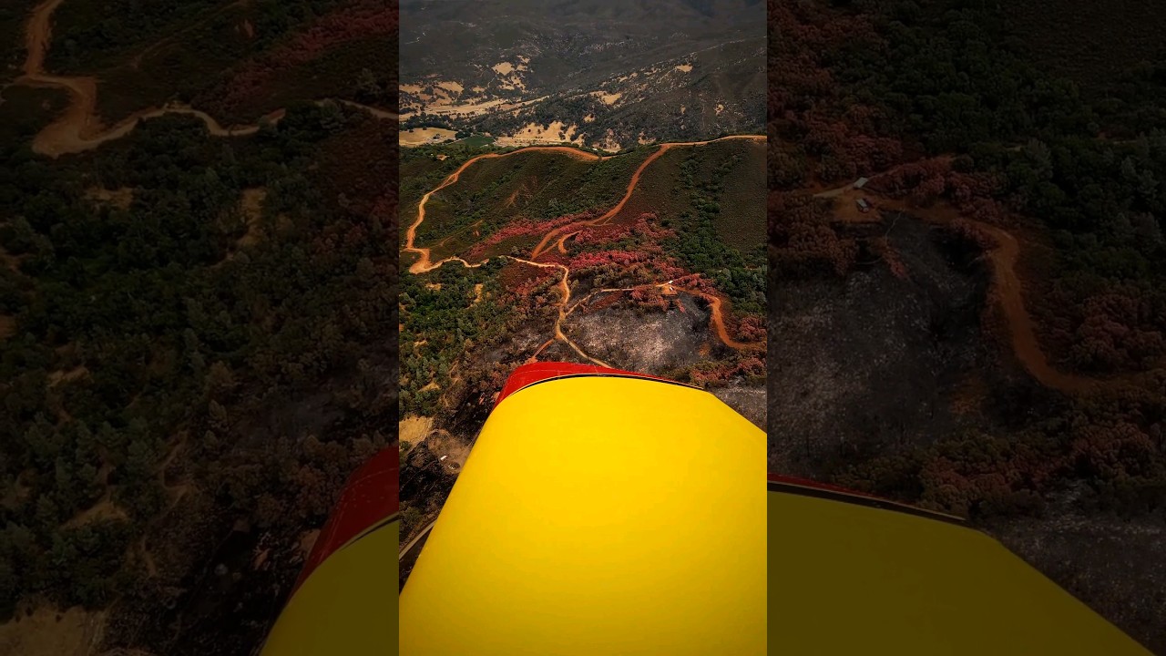
Flying Over a Recent Wildfire | Acorn Fire Damage Assessment #shorts #wildfire #californiawildfiresAviate68561 views | 13 | August 5 2024 18:00:03 (0 comments)[ Read more … ]
I got the opportunity to fly over the Acorn Fire, which was a local fire near me that I recently covered on a previous reel. This is what I saw.
Forest Service using drones to assess storm damage23ABC News | KERO184 views | 2 | January 27 2023 20:30:02 (0 comments)[ Read more … ]
Crews with the Los Padres National Forest are using drones to pinpoint storm damage and take stock of what needs repairs. Crews originally used drones for wildland fires to keep firefighters safe during active blazes. But now they are using drones to survey damage after the storms.
Bryan Minor at Zesty AI- “Catastrophic Climate Risk assessment with Big Data and AI”North Technology People244 views | 0 | December 14 2020 14:26:42 (0 comments)[ Read more … ]
North Technology People would like to welcome you to the CAMDEA Digital Forum for Tuesday 8th December
Presenter: Bryan Minor Company: Zesty AI
You can join the CAMDEA Digital Forum here: https://www.meetup.com/CAMDEA-Digital-Forum/
Patryk Alexander is an associate copy editor at 4kVideoDrones.com, where he sharpens articles and helps keep the website's content clean and error-free. With a background in creative writing, Patryk brings a unique perspective to his editing that helps make 4kVideoDrones.com's content engaging and informative. When he's not editing or writing, Patryk enjoys spending time with his family and exploring the great outdoors.