Taking Construction Sites to New Heights: Drones Deliver High-Resolution Insights
Imagine soaring above a sprawling construction site, not in a helicopter, but with a whisper-quiet drone. Below, where earthmovers and cranes dance, our aerial eyes are capturing every detail with breathtaking clarity. Forget outdated blueprints and fuzzy satellite images. We’re talking high-resolution site modeling, a game-changer fueled by drone technology, and it’s not just about pretty pictures. It’s about revolutionizing how we build and manage projects from the ground up, and well, from way up. Want to see it in action? These YouTube channels are buzzing with practical insights, showing exactly how drones are transforming construction and beyond. Dive in and prepare to see the world of site modeling from a whole new perspective.
Key Insights from the Sky
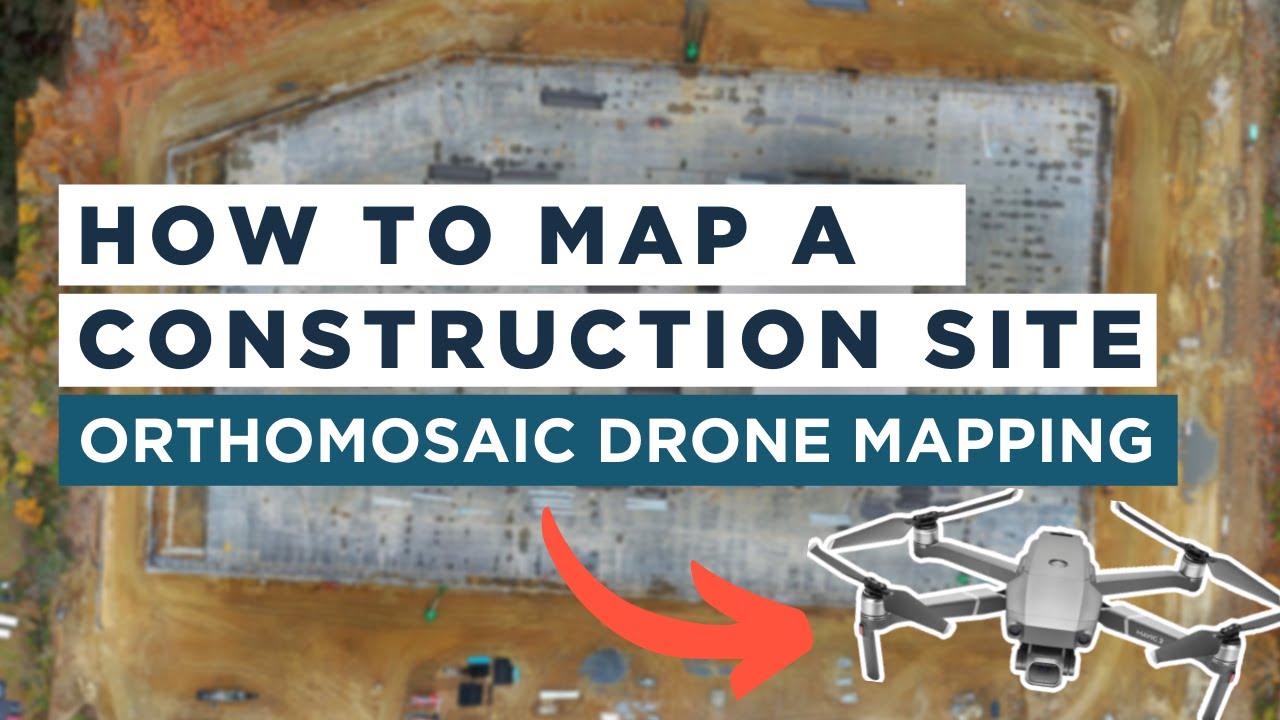
Orthomosaic Maps: The Foundation of Drone Site Modeling: Ever heard of an orthomosaic? Video #1, "Drone Mapping for Construction: Complete Guide," unpacks this crucial concept. Think of it as a super-accurate, geographically precise aerial photograph, stitched together from hundreds of drone images. No more distorted perspectives β orthomosaics are geometrically corrected, meaning you can measure distances and areas directly on the map. For construction, this means incredibly detailed site overviews, perfect for everything from initial planning to tracking progress. The video highlights how companies are using Mavic 2 Pro drones and software like DroneDeploy to generate these maps efficiently. Itβs like having a live, interactive blueprint that updates as fast as you can fly.
Beyond Visuals: Data that Drives Decisions: It’s not just about seeing the site; it’s about understanding it. Video #1 and #3, "Drone Mapping for Construction" and "The Value of Drones on the Job Site," showcase how high-resolution drone data becomes actionable intelligence. Construction companies are using these maps to improve communication between teams, meticulously plan construction phases, maintain detailed project records, and effortlessly monitor progress against schedules. Imagine being able to instantly compare drone-captured site conditions week after week, identifying bottlenecks and ensuring everything stays on track. This level of detailed oversight, previously unimaginable, is now within reach thanks to drone-powered site modeling.
Seamless Integration with Industry Standard Tools: Data is only as valuable as its accessibility. Video #2, "Importing Drone Mapping to AutoCAD," demonstrates a vital step in the workflow: bringing drone-derived data into existing design and engineering platforms. Seeing how easily you can import drone imagery into AutoCAD Civil 3D β a cornerstone of civil engineering β really drives home the practical application. This means that surveyors, engineers, and project managers can seamlessly incorporate high-resolution drone maps and models into their established workflows, maximizing efficiency and minimizing disruption. Itβs about bridging the gap between cutting-edge drone technology and the everyday tools of the trade.
Printed on one side, you can't tell from a distant whether it's the real bill or a fake one. Excellent for close-up magic. No smoke and ash left after burning. Pack contains ten U.S. bill-sized sheets of flash paper.
Cheech & Chong's Up In Smoke Beaker Bong This Cheech & Chong beaker-style water pipe stands 7.25 inches tall with attached downstem and 14mm male bowl. Pipe comes in assorted colors. Officially licensed. Available colors are dependent on current inventory. HIGHLIGHTS 7.25"" tall: Provides a compact yet effective size for easy handling and storage. 14mm female pipe: Ensures compatibility with a variety of accessories. Attached downstem diffuser: Enhances the smoking experience by providing smooth, filtered hits. Beaker style with bent neck: Offers stability and a comfortable smoking angle. Includes 14mm male herb slide: Conveniently allows for the use of dry herbs. Colors vary: Adds a fun element of surprise and individuality to each purchase.
No matter when and where the mess strikes, stay on top of it with this compact, lightweight shop vacuum. The highly portable design is perfect for quick pick-ups around the house. Never before have we offered so much power and versatility in one portable package. The impressive 6.0 peak HP motor can handle any task, and when detached will blow you away.
The Future is High-Resolution and Highly Efficient
Looking ahead, it’s clear that high-resolution drone site modeling is not just a passing trend; itβs the new baseline for construction and related industries. The level of detail and efficiency offered by drone-based surveys is simply too compelling to ignore. We’re seeing increasingly sophisticated drones equipped with better sensors, pushing the boundaries of resolution and accuracy even further. Imagine future systems combining real-time kinematic (RTK) and post-processed kinematic (PPK) GPS for centimeter-level accuracy without needing ground control points in every scenario β making deployment even faster and more cost-effective. And as processing software becomes more intelligent, expect to see automated change detection, volume calculations, and even AI-powered insights extracted directly from drone data, further streamlining workflows and unlocking new levels of site intelligence. The sky, quite literally, is the limit for where this technology can take us.
Ready to Take Flight?
Want to delve deeper into the specifics and see these drone applications in action? Scroll down to watch the video highlights below and witness firsthand how high-resolution drone site modeling is revolutionizing construction and opening up exciting possibilities in industries far beyond. It’s time to get airborne!
No matter when and where the mess strikes, stay on top of it with this compact, lightweight shop vacuum. The highly portable design is perfect for quick pick-ups around the house. Never before have we offered so much power and versatility in one portable package. The impressive 6.0 peak HP motor can handle any task, and when detached will blow you away.
Printed on one side, you can't tell from a distant whether it's the real bill or a fake one. Excellent for close-up magic. No smoke and ash left after burning. Pack contains ten U.S. bill-sized sheets of flash paper.
Cheech & Chong's Up In Smoke Beaker Bong This Cheech & Chong beaker-style water pipe stands 7.25 inches tall with attached downstem and 14mm male bowl. Pipe comes in assorted colors. Officially licensed. Available colors are dependent on current inventory. HIGHLIGHTS 7.25"" tall: Provides a compact yet effective size for easy handling and storage. 14mm female pipe: Ensures compatibility with a variety of accessories. Attached downstem diffuser: Enhances the smoking experience by providing smooth, filtered hits. Beaker style with bent neck: Offers stability and a comfortable smoking angle. Includes 14mm male herb slide: Conveniently allows for the use of dry herbs. Colors vary: Adds a fun element of surprise and individuality to each purchase.
Continue below to watch the videos
Drone Mapping for Construction: Complete GuideThe Drone Life326,524 views | 9,166 | November 17 2021 22:43:05 (170 comments)[ Read more … ]
Claim Your FREE GUIDEBOOK to Using Drones in Construction π https://bit.ly/42MY2b9
In this video, you will learn what are orthomosaic drone maps, the benefits of drone mapping in construction, and how to map a construction site using a drone.
So if you are a construction company looking to get started in drone mapping or if you’re a pilot looking to expand your service offerings, this video is for you.
We’ve been producing 2D orthomosaic maps at this 500,000 Sq Ft warehouse job site. These maps are greatly beneficial for improving communication, planning construction phases, keeping records, monitoring progress, and sharing with project stakeholders.
Using a Mavic 2 Pro drone and mapping software Dronedeploy, we’re going to share our mapping workflows, best practices, and tips!
βΊResources β‘οΈ Start Your FREE 14-Day DroneDeploy Trial Now – http://bit.ly/3EPADdN
Drone Construction Progress Monitoring: Flight Demonstration – https://youtu.be/YZeC7H_1DoA
Why Drone Orthomosaic Maps are a Game-changer for Construction – https://thedronelifenj.com/drone-construction-orthomosaic-maps/
βΊEquipment Used in this Video Mavic 2 Pro Drone – https://amzn.to/3C62yom
βΊOur Must-Have Drone Equipment Checklist β Budget Friendly Ground Control Points (GCPs) – http://bit.ly/3nAT2pH β Most Reliable SD Card for Drone Mapping – http://bit.ly/3lZOhWn β Heavy Duty Landing Pad – http://bit.ly/3zt1hXA β Collapsable Orange Safety Cones – http://bit.ly/40Tr2fp β OSHA Certified Safety Vest -http://bit.ly/3KsycSt β Wind Speed Anemometer Gauge – http://bit.ly/3ZCaYO5 β Best Flight Planning Tablet – http://bit.ly/40Dci4q β Handheld VHF Airband Transceiver – http://bit.ly/40AyLPP
βΊAbout The Drone Life The Drone Life is an industry-leading UAS service provider that provides turnkey aerial data solutions nationwide. We proudly specialize in the industrial, environmental, renewable, and construction industries. Our team consists of highly experienced, dependable, and licensed drone professionals that are committed to safety, quality, and customer success.
βΊChapters 0:00 Intro 0:34 What are orthomosaic drone maps? 1:21 Benefits of drone mapping 3:58 Flight planning 14:28 Flying the site 18:49 Conclusion
#dronemapping #dronesinconstruction #construction
Advertisement
Importing Drone Mapping to AutoCADWater Solutions11,388 views | 76 | November 12 2020 10:58:15 (0 comments)[ Read more … ]
This video is from our WS how to series.
The goal of this series is to take clients through simple and easy steps to visualise and interact with out data deliverables.
This video explains how to open a drone mapping imagery file in Auto CAD Civil 3D.
Like and subscribe
Visit our Website to find out more about the services we offer.
The Value of Drones on the Job SiteDroneDeploy39,575 views | 61 | March 28 2018 18:24:33 (7 comments)[ Read more … ]
Learn why leading contractors McCarthy Building Companies and the Beck Group use DroneDeploy to make high-resolution drone maps and 3D models of their job sites. Learn more and sign up for a free trial at www.dronedeploy.com.
Advertisement
About the Author
Patryk Alexander is an associate copy editor at 4kVideoDrones.com, where he sharpens articles and helps keep the website's content clean and error-free. With a background in creative writing, Patryk brings a unique perspective to his editing that helps make 4kVideoDrones.com's content engaging and informative. When he's not editing or writing, Patryk enjoys spending time with his family and exploring the great outdoors.