LiDAR From the Sky: Unlocking the Secrets of Our World
From remote Nepalese mountains to the cornfields of Indiana, drones equipped with LiDAR are revolutionizing how we see and understand the world. These aren’t your average camera drones; they’re sophisticated mapping machines creating incredibly detailed 3D models of everything below. Ever wondered how surveyors capture the intricate details of a landscape for large infrastructure projects or create precise topographic maps? These videos offer a glimpse into the fascinating world of LiDAR drone surveying and its powerful applications.
High-Altitude Insights: Key Takeaways From the Field
LiDAR + Drones = Powerful Combo: Combining LiDAR sensors with drone technology enables rapid and efficient 3D data acquisition for surveying and engineering projects, even in challenging terrains like Nepal.
From Point Cloud to Polished Product: The process involves capturing "point cloud" data, which is then processed using specialized software (like ROCK Cloud, as seen in one video) to generate topographic surfaces, extract features, and even produce detailed CAD drawings and contour maps.
Accuracy is Key: LiDAR drone surveys offer impressive accuracy, down to +/- 5cm in some cases, making them suitable for demanding applications like ALTA surveys and infrastructure planning.
Multiple Approaches: Different LiDAR systems and methodologies are used depending on the project. Some videos highlight using drones alongside ground-based LiDAR and DGPS (Differential Global Positioning Systems) for maximum precision.
Democratization of Data: While high-end systems like the Leica "Pegasus One" exist, more accessible options like the ROCK R3 Pro V2 are emerging, potentially opening up LiDAR drone surveying to a wider audience.
Beyond the Buzz: The Future is Looking Up
The videos showcase the increasing accessibility and affordability of LiDAR drone technology. As hardware continues to improve and software becomes more user-friendly, we’ll likely see even more innovative uses for this powerful combination. Imagine archaeologists mapping ancient ruins, environmental scientists monitoring deforestation, or even farmers optimizing crop yields – all thanks to the bird’s-eye view provided by LiDAR-equipped drones.
Ready for Takeoff? Explore the World of LiDAR
Intrigued by the potential of LiDAR drone surveying? Scroll down to watch the highlighted video clips and see this incredible technology in action. You’ll gain a deeper understanding of how LiDAR is transforming mapping and its impact across various industries.
Continue below to watch the videos
3D Drone LiDAR data and SLAM LiDAR from the ROCK R3 Pro V2 3D camera! #drone #lidar #slam #3dIndiana Drones3,479 views | 150 | September 27 2024 15:57:30 (4 comments)[ Read more … ]
I captured 3D Drone LiDAR data and merged it with SLAM LiDAR from the ROCK R3 Pro V2 3D camera using the ROCK Cloud!
Then we used the ROCK Pro Services team to produce a topographic surface and extract all the features for an ALTA survey!
Drone LiDAR data is crucial in surveying and civil engineering. #drones #engineering #surveyingDaniel Windham537 views | 15 | December 12 2024 04:59:09 (1 comments)[ Read more … ]
Advertisement
UAV Lidar Survey, DGPS Survey!Nomadic Engineer Sir585 views | 14 | October 18 2024 10:39:36 (1 comments)[ Read more … ]
Here, we establish control points by high precise Survey Grade Differential Global Positioning Systems in static mode, throughout the area to be surveyed. Then we capture 3D point cloud data using our Leica “Pegasus one” Mobile LiDAR mapping system along all motorable & developed roads in the area to be surveyed.
Thereafter, low altitude flying UAV/Drones are used for capturing ground data with sufficient overlaps so as to develop a dense 3D point cloud data. This combined technology gives an accuracy of about +/- 5 cm globally, which is quite good as compared to the speed of Topographic survey. Contours can be generated at required intervals say 0.5 m or 1 m, using this dense 3D point cloud data and drawings are prepared upto the scale of 1:500 sufficient for planning and development of any infrastructure project.
Advertisement
LiDAR Drone Survey at Remote Nepal #calmdown #surveying #nepal #workSurvey And Travel575 views | 17 | October 17 2024 15:43:36 (0 comments)[ Read more … ]
Advertisement
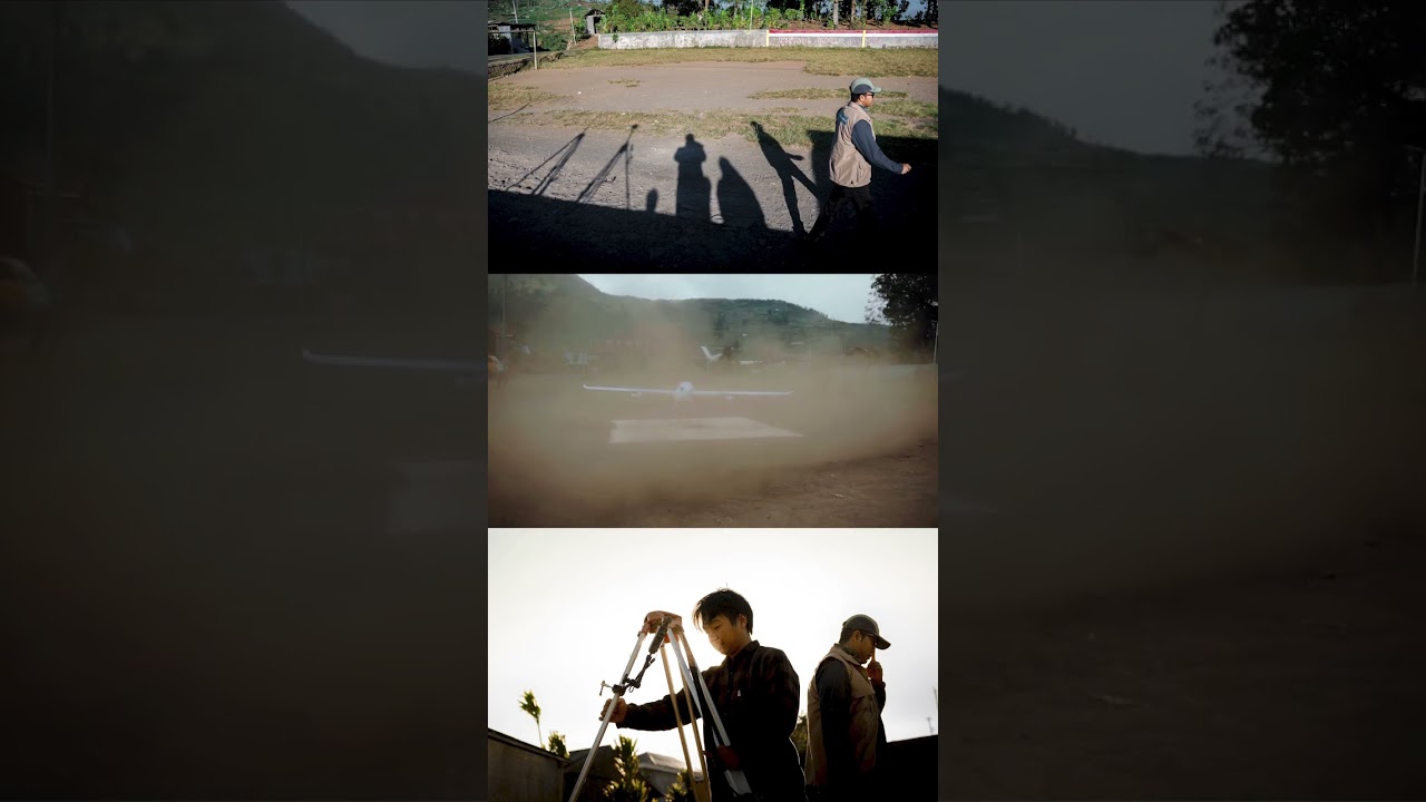
Landing after Lidar Survey #lidar #surveyRachmat Hariadi659 views | 4 | October 15 2024 03:46:08 (0 comments)[ Read more … ]
Patryk Alexander is an associate copy editor at 4kVideoDrones.com, where he sharpens articles and helps keep the website's content clean and error-free. With a background in creative writing, Patryk brings a unique perspective to his editing that helps make 4kVideoDrones.com's content engaging and informative. When he's not editing or writing, Patryk enjoys spending time with his family and exploring the great outdoors.