Revolutionizing Drone Data Processing with WebODM: Key Insights from the Field
The drone industry is rapidly evolving, and with it, the demands for efficient and accurate data processing are skyrocketing. As drone pilots, we’re not just capturing aerial imagery; we’re tasked with transforming that raw data into actionable intelligence – quickly and reliably. For years, this often meant grappling with complex software, lengthy processing times, and hefty cloud service fees. But the landscape is shifting, and at the forefront of this revolution is WebODM. This open-source powerhouse is democratizing advanced drone data processing, putting robust tools directly into the hands of pilots and mappers, whether in the field or the office.
This curated selection of YouTube videos offers a pilot’s-eye view into the practical applications and groundbreaking features of WebODM. From rapid on-site data validation to streamlined cloud-based sharing and seamless integration with industry-standard GIS tools, these insights showcase why WebODM is becoming the go-to solution for professionals seeking to maximize efficiency and minimize complexity in their drone workflows. Let’s dive into the key takeaways that are reshaping how we approach drone data processing.
Key Highlights from WebODM Video Insights
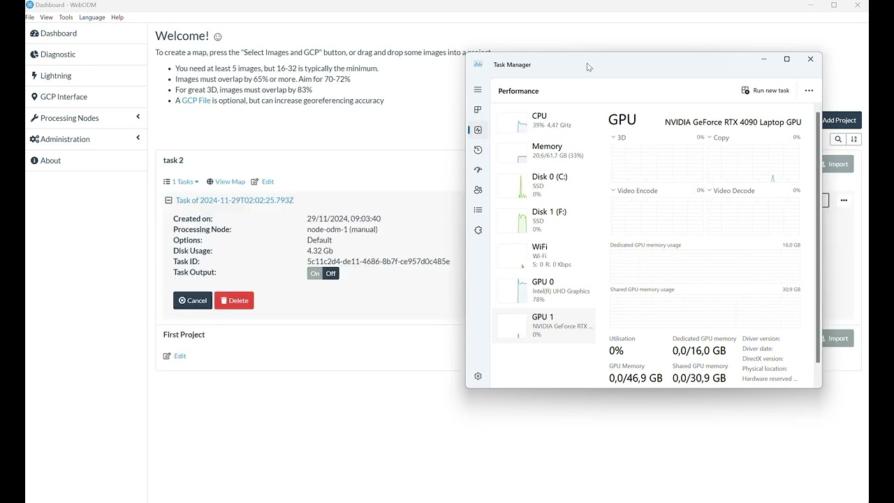
- On-Site Data Validation – Immediate Feedback, Mission Assurance: Video 1, "Super Fast On-Site Data Quality Checks with WebODM on Your Laptop," emphasizes a game-changing capability: performing rapid data quality checks directly in the field. No more waiting for lengthy uploads and cloud processing just to discover unusable data. WebODM empowers you to verify image quality and coverage right after a flight using just your laptop. This is crucial for efficient missions, preventing costly re-flights and ensuring you leave the site with confidence in your data’s integrity.
- Open and Accessible – Democratizing Advanced Mapping: Video 4, "Open-Source, User-Friendly WebODM Software for Drone Image Processing | Accretegeo," underscores WebODM’s core advantage – its open-source nature. This means powerful drone data processing capabilities are accessible to everyone, regardless of budget. WebODM provides a comprehensive suite of tools to generate orthomosaics, point clouds, elevation models, and 3D textured models, all from a user-friendly interface. This accessibility is democratizing advanced drone mapping and making it a viable option for projects of all scales.
- Cloud Platform for Simplified Sharing and Collaboration – Breaking Down Barriers: Video 3, "Easiest Way to Share WebODM Maps & 3D Models | WebODM Cloud Platform Tutorial," addresses a critical aspect of drone mapping workflows: data sharing. The WebODM Cloud Platform offers an incredibly straightforward method for sharing maps and 3D models. It removes the technical hurdles of server management and complex sharing protocols, making collaboration seamless. For pilots working with clients or teams, this streamlined sharing capability is a significant efficiency booster. The video even highlights the cost-effectiveness, with potentially free options available.
- Integration with Industry Standards – Seamless Workflow Integration: Video 2, "Displaying Accretegeo WebODM Outputs in Cesium ion," demonstrates WebODM’s compatibility with leading platforms like Cesium ion. This highlights WebODM’s commitment to integration within existing geospatial workflows. Being able to seamlessly export and utilize WebODM outputs in platforms like Cesium ion ensures compatibility and expands the utility of processed drone data within broader GIS environments.
- Customization and Enhanced GCP Workflows – Expanding Functionality: Video 5, "Complemento de QGIS para generar GCP para WebODM y Open Drone Map," points to the power of customization and community-driven development within the WebODM ecosystem. The showcased QGIS plugin for automated GCP file generation exemplifies how users are extending WebODM’s capabilities to streamline specific tasks. This plugin directly addresses the often time-consuming process of managing Ground Control Points, crucial for high-accuracy mapping projects.
- Comparative Analysis with Industry Software – Practical Performance Insights: Video 6, "ORTOFOTOMAPY DRONEM – modele 3D w WebODM i Pix4D I naloty z powietrza I ustawienia parametr w lotu," offers a valuable real-world comparison by showcasing WebODM alongside Pix4D. While the video is in Polish, the context of comparing these platforms directly speaks to WebODM’s position as a serious contender in the drone mapping software arena. This type of comparative content helps pilots make informed decisions about software selection based on practical performance.
The Open Source Advantage: Fueling Innovation and Accessibility
The underlying theme across these videos is the transformative power of open-source software in the drone mapping sector. WebODM’s open-source nature isn’t just about being free of charge; it fosters a vibrant community of users and developers who continuously contribute to its improvement and expansion. This collaborative ecosystem drives rapid innovation, ensures ongoing support, and tailors the software to meet the evolving needs of drone professionals. As drone technology advances and applications diversify, this open and adaptable nature of WebODM positions it as a future-proof solution capable of staying at the cutting edge of drone data processing. This community-driven approach ensures that WebODM remains responsive to user feedback and continues to evolve, addressing real-world challenges faced by pilots in the field.
Elevate Your Drone Data Workflow
Ready to experience the revolution in drone data processing firsthand? Scroll down to watch the video highlights and see WebODM in action. Discover how this powerful open-source platform can streamline your workflow, enhance data quality, and unlock new possibilities for your drone operations.
Scroll down for a closer look at the videos