Unlocking Drone Mapping Potential with WebODM: Key Insights from the Field
Drone technology is rapidly transforming how we visualize and analyze our world, and at the heart of this revolution is drone mapping. For professionals seeking efficient and cost-effective solutions, WebODM stands out as a powerful, open-source platform. But understanding how to maximize its capabilities can feel like navigating complex airspace. That’s where insights from fellow pilots and mappers come into play. We’ve analyzed recent YouTube discussions to bring you practical knowledge and actionable strategies for leveraging WebODM’s latest innovations for creating stunning maps and 3D models. These aren’t just software tutorials; they are real-world perspectives from users pushing the boundaries of drone-powered geospatial data. Let’s explore what the drone mapping community is sharing about getting the most out of WebODM.
Key Learnings from Drone Mapping Experts
Democratizing Access with Cloud Platforms: Sharing detailed drone-captured data used to be a technical hurdle, often requiring dedicated servers and specialized IT skills. However, as demonstrated in the "Easiest Way to Share WebODM Maps & 3D Models" video, cloud platforms are game-changers. These platforms drastically simplify sharing WebODM outputs, eliminating the need for complex local server setups. This ease of access expands the applicability of drone mapping to a broader audience, even those without deep technical expertise, making it faster, cheaper, and sometimes even free to share valuable geospatial information. Think project managers, stakeholders, or even clients gaining instant access to interactive 3D models without needing specialized software or skills.
Real-World Mission Insights: Beyond software tutorials, seeing a drone mapping mission in action provides invaluable context. The "ORTOFOTOMAPY DRONEM – modele 3D w WebODM i Pix4D" video offers a glimpse into a practical mapping scenario using the robust Matrice M30T. Observing flight parameters, real-time aerial footage, and a side-by-side comparison with Pix4D offers a balanced perspective on software choices and mission execution. This type of content bridges the gap between theoretical knowledge and the practical realities of flight planning and data acquisition.
Unlocking Entry-Level Drone Capabilities: The myth that professional-grade mapping requires expensive, specialized drones is being debunked. The "Free DJI Mini 2 Drone Mapping with WebODM Overview" video is a compelling testament to the capabilities of consumer-level drones like the DJI Mini 2. It highlights that with the right software like WebODM, even pilots operating smaller, more accessible drones can generate impressive aerial maps and 3D models. This opens up drone mapping possibilities for individuals and smaller organizations, proving that you don’t need a top-of-the-line fleet to achieve valuable results. Careful mission planning and understanding software capabilities are key, as shown in this practical example using freely available tools.
Structured Workflow for Reliable Results: Effective drone mapping isn’t just about flying a drone and processing images. A systematic approach is crucial for consistent, high-quality outputs. The "3D Mapping with Selected DJI Drones & Copterus" series emphasizes this by breaking down the process into distinct stages: planning, flying, and processing. Integrating mission planning software like Copterus with WebODM streamlines the entire workflow, ensuring efficient data capture and model generation. Following a structured methodology minimizes errors and maximizes the reliability of your mapping projects.
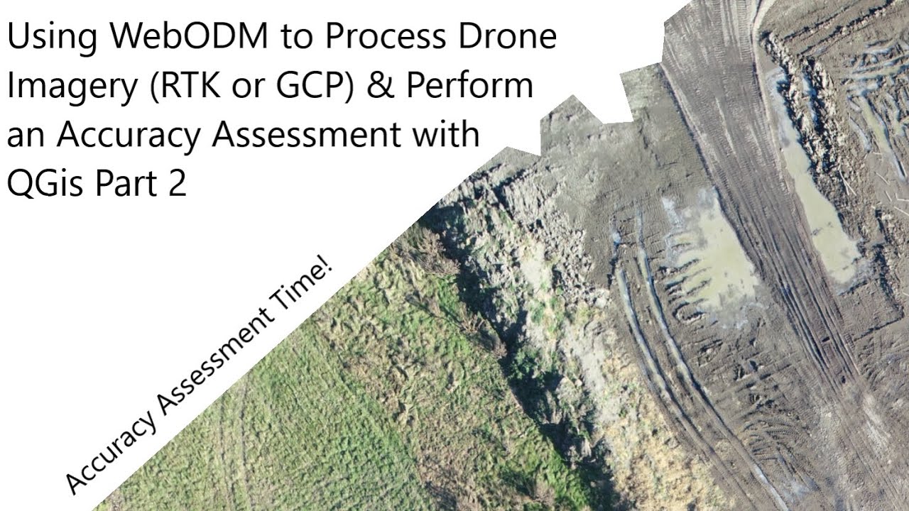
Accuracy and Advanced Processing Techniques: For applications requiring precise measurements and analysis, accuracy is paramount. The "Using WebODM to Process Drone Imagery (RTK or GCP) & Perform an Accuracy Assessment with QGis Part 1" video dives into advanced techniques for enhancing geospatial accuracy. It explores the use of RTK (Real-Time Kinematic) and GCPs (Ground Control Points) in WebODM, along with methodologies for accuracy assessment using QGIS. Understanding these techniques is crucial for professionals requiring survey-grade data and emphasizes the importance of data validation in drone mapping workflows.
Speed and Simplicity in Model Generation: In today’s fast-paced environment, efficiency is often as important as accuracy. The "WebODM 3D model in under an hour" video demonstrates the remarkable speed with which WebODM can generate 3D models, even with default settings and readily available drones like the DJI Mini 4. This highlights WebODM’s user-friendliness and processing efficiency, allowing for rapid turnaround times from data acquisition to deliverable products. For projects requiring quick visualization and preliminary analysis, WebODM provides a powerful and fast solution.
Stepping into the Future of Drone Mapping
These video insights collectively paint a picture of an evolving drone mapping landscape, one that is becoming increasingly accessible, efficient, and versatile thanks to innovations in platforms like WebODM. The emphasis is shifting towards user-friendliness, wider drone compatibility, and streamlined workflows without compromising accuracy. As drone technology and software continue to advance, we can anticipate even more powerful and intuitive tools emerging, further expanding the reach and impact of drone-powered 3D mapping.
Easiest Way to Share WebODM Maps & 3D Models | WebODM Cloud Platform TutorialAvios Media989 views | 58 | November 15 2024 12:15:05 (13 comments)[ Read more … ]
Discover the simplest way to share your WebODM maps and 3D models using the WebODM Cloud Platform. Unlike running it on your own PC or web server, this platform requires no special computer skills, making it accessible for everyone.It’s a faster, cheaper (sometimes even free), and easier solution compared to other sharing methods. Say goodbye to technical headaches and streamline your workflow with WebODM Cloud! 💥 Sign up using my link: https://webodm.net/uav_mapping/19634 and get 250 free credits to get started! 🚀
00:00 Introduction 00:30 Getting started 01:00 Accessing the Cloud Platform 01:15 Creating a project and importing images 02:00 Accessing the 2D and 3D models 03:30 Sharing with others
ORTOFOTOMAPY DRONEM – modele 3D w WebODM i Pix4D I naloty z powietrza I ustawienia parametr w lotudrony123go1,328 views | 51 | October 16 2024 05:09:51 (14 comments)[ Read more … ]
Film prezentuje kluczowe aspekty związane z tworzeniem i modelowaniem map z powietrza przy użyciu drona Matrice M30T. W materiale możesz zobaczyć jak wygląda prawdziwa misja mapowania, ustawienia parametr w lotu, odgląd z powietrza oraz finalny efekt zaprezentowany przy użyciu program w: WebODM oraz Pix4D.
Jeżeli zaprezentowany materiał okazał się być interesujący i pomocny, zostaw swojego SUBA celem dalszego rozwoju tego kanału!
Sprzęt użyty do realizacji odcinka: – Matrice M30T – WebODM – Pix4D
Free DJI Mini 2 Drone Mapping with WebODM OverviewChris Gardiner Photography20,729 views | 315 | December 29 2021 14:00:10 (52 comments)[ Read more … ]
August 2022 Update: Watch this next about how to get your 3d drone model onto the internet for all to see and enjoy! https://www.youtube.com/watch?v=iMXCP2jbp50
Aerial mapping with your DJI Mini 2 drone is possible, now, in 2022! You don’t need special SDK, software, hosting or subscription plans either. All Free!!
I go over the steps of using WebODM to map a simple set of photos on a small waterfront property.
This was a test project, with the intention of difficult shooting conditions in snowy winter landscape, and irregular captures from manual flight pattern.
These are the results, impressive if you ask me! Totally feasible to make this an add-on service for realtors who want to showcase their properties and more of it’s surroundings, on the internet. It is not without some challenges. Watch this video to see some more information about this amazing ODM – open drone map software!
Thanks for watching and please subscribe for more! www.youtube.com/cgardinerphoto
3D Mapping with Selected DJI Drones & Copterus – 3pt How To series now live, including webODM guidea View through the lens391 views | 5 | September 18 2021 10:16:08 (0 comments)[ Read more … ]
My latest How To videos series is now live, showing you how to plan, fly and create 3D maps or models of areas of interest such as Farnham Castle.
Part 1 – Plan the mission in Copterus with a Mavic Mini https://youtu.be/LCQTgTTZv4c
Part 2 – Fly the mission in Copterus with the Mavic Mini to capture the photos needed. https://youtu.be/hOTn9gGnIdU
Part 3 – Use WebODM to create a 3D Map or model from the photos take in part 2. https://youtu.be/SYrFu869p6E
Guiton Sketch by Kevin MacLeod is licensed under a Creative Commons Attribution 4.0 licence. https://creativecommons.org/licenses/by/4.0/
Using WebODM to Process Drone Imagery (RTK or GCP) & Perform an Accuracy Assessment with QGis Part 1Nathan J.B.27,430 views | 511 | December 23 2021 02:39:45 (35 comments)[ Read more … ]
This is part 1 of a two part series using WebODM and performing an accuracy assessment using the outputs from WebODM in QGis. Part 1 covers: 1. Installing WebODM 2. Preparing imagery and looking at exif data 3. Launching WebODM 4. Making a new project and uploading imagery 5. Selecting parameters and running WebODM 6. Georeferencing with GCP data 7. Downloading products
WebODM 3D model in under an hourGeoff Bernard457 views | 2 | November 15 2023 23:04:38 (1 comments)[ Read more … ]
30 minutes driving an 10 minutes taking pictures 15 minutes starting WebODM and processing pictures
DJI Mini4 + Web ODM on Mac M2 Default settings used for everything (keeping it simple!) Location is Valley Ranch, Irving, TX Park
Highly recommend checking out this Udemy course to learn how to install and more than default ODM settings, if interested:
Getting Started with Open Drone Map (ODM) by Scott Lussier https://www.udemy.com/share/108y2A3@9GkmFzBiuzopyjRtjGmV_uHdt1SHEy0-skcAsNYYjWUqfCZdWELtDETo_wgXCfbDWQ==/
I found his installation instructions accurate and up to date for my Mac.
#webODM #3dmodeling #dji #photogrammetry
Advertisement
About the Author
Patryk Alexander is an associate copy editor at 4kVideoDrones.com, where he sharpens articles and helps keep the website's content clean and error-free. With a background in creative writing, Patryk brings a unique perspective to his editing that helps make 4kVideoDrones.com's content engaging and informative. When he's not editing or writing, Patryk enjoys spending time with his family and exploring the great outdoors.