Unleashing the Mapping Potential of Your FPV Drone: Data Capture Revolutionized 🗺️
As drone pilots, we’re constantly seeking ways to push the boundaries of what these incredible machines can do. For years, mapping and surveying were the domain of larger, more expensive platforms. But the agility and maneuverability of First-Person View (FPV) drones are opening up exciting new possibilities, allowing us to capture data in ways previously unimaginable. Imagine the crisp morning air as you pre-flight your meticulously tuned FPV quad, not just for adrenaline-fueled acrobatics, but for a precise data acquisition mission. The whir of the motors isn’t just a soundtrack to a thrilling flight; it’s the sound of innovation, of transforming a nimble flyer into a powerful mapping tool. This page dives into key insights gleaned from recent discussions in the drone community, specifically focusing on how we can leverage FPV drones for mapping, and the considerations that come with this exciting evolution.
Key Takeaways: Navigating the Landscape of FPV Drone Mapping
Here’s a breakdown of crucial information extracted from recent video discussions, offering practical guidance for pilots looking to integrate mapping into their FPV operations:
-
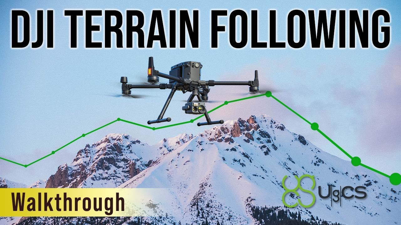
Terrain Following is Paramount for Accurate Data: One video emphatically highlights the importance of terrain following for precise data capture. Think about it: a flat map projected onto uneven ground introduces significant distortions. Software like UgCS, demonstrated in one of the videos, allows for meticulous mission planning that accounts for elevation changes. This ensures consistent sensor altitude and overlap, critical for generating accurate orthomosaics and 3D models. Imagine flying a hillside, the drone dynamically adjusting its altitude to maintain a consistent distance from the ground – that’s the power of terrain following.
-
Specialized Software Bridges the Gap: Turning an FPV drone into a mapping tool isn’t just about strapping on a camera. It requires sophisticated flight planning and data processing software. The video showcasing UgCS with a DJI Matrice 300 and a ROCK R2A LiDAR system underscores this point. While the M300 isn’t strictly an "FPV drone" in the racing sense, the principles of terrain following and mission planning are directly applicable. The key takeaway is the methodology and the software’s role in achieving accurate results. We need to explore how similar principles can be adapted to smaller, true FPV platforms.
-
Regulatory Compliance Remains Crucial: While one video discusses methods for disabling DroneID on DJI aircraft, it’s imperative to emphasize the regulatory landscape. As professional pilots, we operate within a framework of rules designed to ensure safety and accountability. Disabling identification features can have serious legal ramifications and undermines the responsible integration of drones into the airspace. Our focus should be on leveraging technology within legal boundaries to achieve our mapping objectives. Think of it like this: a finely tuned engine needs a skilled driver who also knows the rules of the road.
-
Hardware Considerations Extend Beyond the Drone: The video featuring the LiDAR system highlights that accurate mapping often involves specialized sensors. While traditional photogrammetry with standard FPV cameras has its place, integrating LiDAR or other advanced sensors onto larger FPV platforms opens up new possibilities for detailed elevation data and vegetation penetration. This requires careful consideration of payload capacity, power requirements, and integration methods. We need to think beyond just the drone itself and consider the entire data acquisition ecosystem.
Navigating the Future: Precision and Agility Converge
The integration of FPV drones into mapping workflows is still in its early stages, but the potential is undeniable. We’re seeing a convergence of agility and precision. Imagine inspecting complex infrastructure, navigating dense forests for environmental surveys, or creating detailed models of challenging terrain – all with the speed and maneuverability of an FPV drone. Future trends will likely see advancements in:
- Miniaturized, High-Resolution Sensors: As sensor technology shrinks and becomes more efficient, we’ll see smaller FPV drones equipped with the capability to capture high-quality mapping data.
- AI-Powered Flight Planning: Imagine software that can automatically generate optimal flight paths for mapping based on terrain data and desired resolution, further simplifying the process.
- Real-time Processing and Analytics: The ability to process and analyze captured data in near real-time will accelerate workflows and provide immediate insights in the field.
Ready to Map New Territories?
The videos highlighted here offer valuable insights into the evolving landscape of drone mapping. While one video touches on regulatory considerations, the core message is clear: with the right tools and techniques, we can leverage the unique capabilities of drones to revolutionize data capture. Scroll down to explore the video highlights and delve deeper into the specifics of terrain following and mission planning. Let’s continue to explore the exciting possibilities of turning our FPV drones into powerful mapping tools, always prioritizing safety, efficiency, and adherence to regulations.


