Drone Data Capture: Revolutionizing Data Collection 🌎🚀
As a seasoned drone pilot and instructor, I’ve witnessed firsthand the incredible evolution of drone technology and its profound impact on how we gather information. The phrase "Drone Data Capture: Revolutionizing Data Collection" isn’t just a catchy title; it reflects a fundamental shift in efficiency, safety, and the sheer breadth of data we can now access. Imagine replacing weeks of painstaking manual surveying with a single autonomous flight, or capturing near-real-time environmental data from previously inaccessible locations. That’s the power we’re unlocking. This webpage dives into recent insights gleaned from YouTube, showcasing practical examples of this revolution in action. These videos highlight the diverse applications and innovative techniques driving the future of data acquisition from the air, offering valuable lessons for both newcomers and experienced professionals in the field.
Key Takeaways: Highlighting the Power of Aerial Data
Unlock Free Mapping Potential with Your DJI Drone: The video "Turn Your DJI Drone Into A Mapping Machine For FREE!" unveils accessible workflows for transforming popular DJI models like the Mavic 3 and Mini 4 Pro into powerful mapping tools without the barrier of expensive software. This democratizes access to crucial data capture capabilities, showcasing how intelligent flight planning and free processing software can generate professional-grade 2D maps and 3D models. This means smaller operations and individual users can now leverage the power of orthomosaics and point clouds, previously the domain of specialized teams and budgets.
Meteodrones: Capturing Critical Atmospheric Data Where Others Can’t: "Meteodrones: Bridging the Gap in Meteorological Weather Data Capture" introduces a specialized application highlighting the unique capabilities of drones in extreme environments. Imagine a drone soaring 6 kilometers high, battling icing conditions and strong winds, all to gather precise meteorological data. This illustrates how drones are pushing the boundaries of data collection, venturing into areas too dangerous or difficult for traditional methods. The integration of this real-time data into advanced weather models underscores the crucial role drones play in enhancing forecasting accuracy for businesses and governments.
Thermal Drones for Accurate Wildlife Census: The "Last Day of Winter Elephant Census, Drone Used for Accurate Data Collection" video, while in a different language, vividly demonstrates the power of thermal imaging in wildlife management. Visualizing elephants through dense foliage using thermal cameras showcases a non-invasive and efficient method for gathering crucial population data. This minimizes disturbance to wildlife while ensuring a more accurate count, highlighting the ethical and practical advantages of drone-based observation.
AI-Powered Drones Tackling Environmental Challenges: "Drone Waste Detection" offers a compelling look at how drones equipped with AI are being deployed for environmental monitoring. Witnessing a drone autonomously flying over a river in Cambodia, capturing images to train AI models for plastic waste detection, paints a clear picture of the future of conservation efforts. This highlights the synergy between drone technology and artificial intelligence, enabling efficient and scalable solutions for critical environmental issues. The subsequent collection and analysis of the waste reinforces the entire data capture and action cycle.
From Drone Imagery to Detailed 3D Models with PhotoMesh Drone: "Introducing PhotoMesh Drone – Turning Drone Data into Detailed 3D Models!" focuses on the critical step of data processing. This video introduces a software solution designed to efficiently convert drone-captured images, including those from various camera types and even LiDAR, into high-quality 2D and 3D outputs. The emphasis on local processing power and accuracy, including the use of GPS/RTK/PPK data and ground control points (GCPs), is vital for achieving survey-grade results. Understanding the workflow from raw data to a tangible 3D model is crucial for professionals in mapping, construction, and infrastructure.
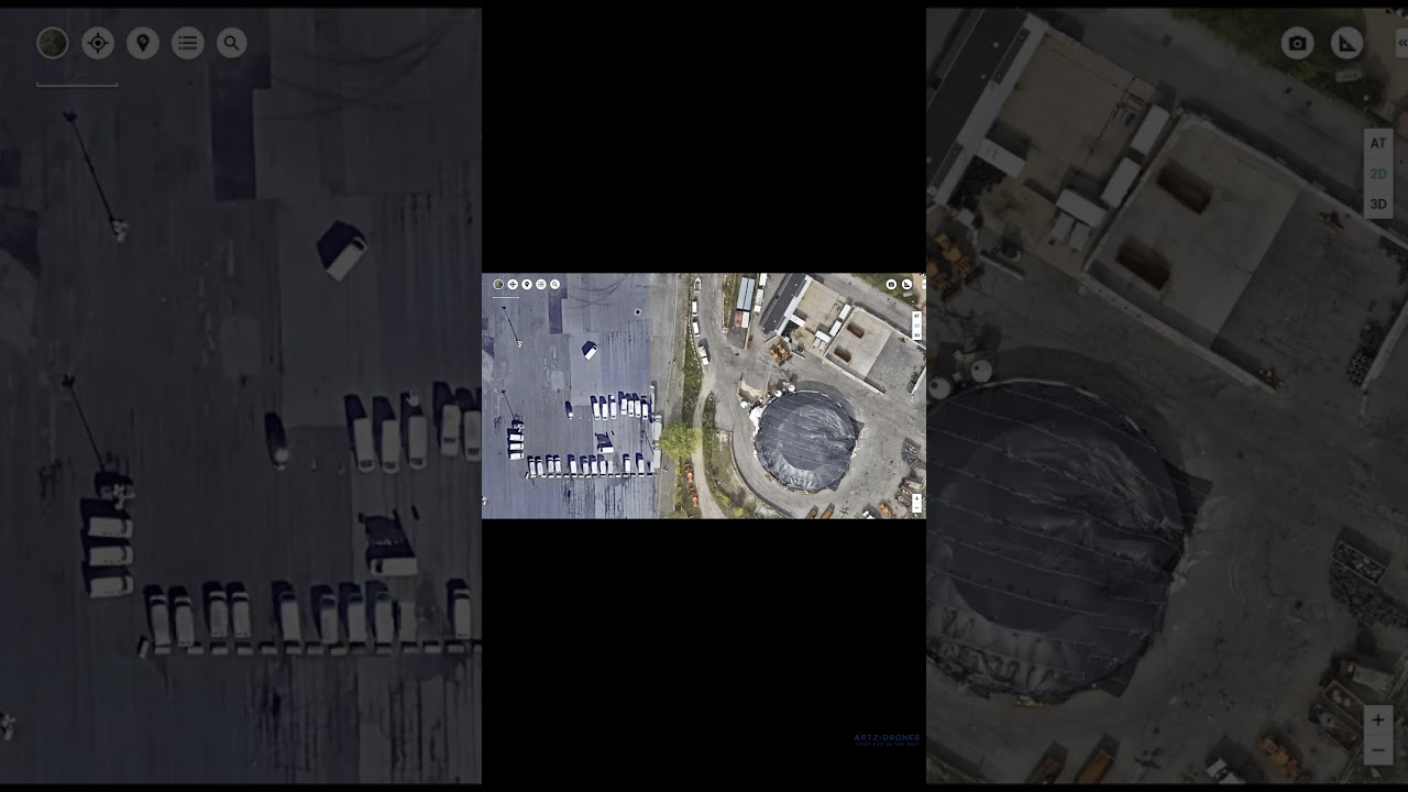
Drones Revolutionizing Construction Site Efficiency: "How Drones Capture Data – Photogrammetry, Inspections, 3D Mapping" brings the discussion to the construction industry. This video clearly illustrates how drones streamline site inspections, enhance 3D mapping capabilities, and improve overall safety. The visual demonstration of a DJI Mavic Air 2S in action, paired with software like DroneDeploy, provides a practical understanding of how developers gain detailed aerial insights, track progress, and ultimately optimize project efficiency and reduce costs.
From Pixels to Practicality: Trends Shaping Drone Data Capture
The videos highlighted above showcase several converging trends within the drone data capture landscape. We’re seeing a significant push towards democratization and accessibility, with tools and techniques becoming more readily available to a wider range of users. The integration of advanced sensors, like thermal cameras, is opening up new possibilities for data collection in diverse fields. Furthermore, the powerful combination of drone data and Artificial Intelligence is enabling automated analysis and insights, moving beyond simple image capture to actionable intelligence. Finally, the emphasis on accurate geospatial data, supported by technologies like RTK/PPK and GCPs, underscores the increasing demand for precision and reliability in drone-derived information. The consistent thread is the drive for safer, faster, and more cost-effective methods of acquiring critical data.
Elevating Data Collection: The Aerial Advantage
The examples we’ve explored demonstrate that drone data capture is far more than just a technological novelty. It’s a transformative force, fundamentally changing how we understand and interact with the world around us. From mapping landscapes and monitoring the environment to streamlining construction projects and tracking wildlife populations, drones are providing unprecedented access to information, leading to smarter decisions and more efficient operations. Scroll down to explore these insightful videos and witness the revolution in data collection firsthand.
Scroll down for the highlighted videos
Turn Your DJI Drone Into A Mapping Machine For FREE!Dylan Gorman208,121 views | 8,771 | November 8 2024 18:00:27 (553 comments)[ Read more … ]
Discover how to transform your DJI Mavic 3, Air 3, or Mini 4 Pro into a powerful mapping tool without spending a dime on expensive software. This guide unveils the best free drone mapping solutions, allowing you to create professional-grade 2D maps and 3D models.
Become a MASTER at drone mapping with our extensive online course: https://www.pilotbyte.com/drone-mapping-mastery
BEST DRONES TO USE WITH THIS WORKFLOW: DJI Mavic 3 Classic: https://amzn.to/4figwWC DJI Mavic 3 Pro: https://amzn.to/4ff4EEP DJI Air 3: https://amzn.to/3Avugy8 DJI Mini 4 Pro: https://amzn.to/3YGMWmp
Access to sample data: https://bit.ly/4hE9UDo — ► Join us on Pilot Byte! Our platform provides current and aspiring drone operators with information and resources to promote growth and development in the drone industry: https://www.pilotbyte.com
► Subscribe to my channel here: https://www.youtube.com/c/dylangorman — My Camera Equipment! Canon R5: https://amzn.to/36YsAP1 Canon 24-70 2.8L: https://amzn.to/2S2KVCK Rode Microphone: https://amzn.to/3pfokiM Drone: https://amzn.to/3x9GHLW __ Follow me online!
— Chapters 00:00 Intro 01:17 Why Can’t You Use 3rd Party Apps Anymore? 02:22 How To Get Any DJI Drone To Map Autonomously 02:52 Compatible Drones 03:40 Getting Our Drones Ready For Mapping 05:00 Mission Planning 07:40 Mission Upload To DJI FLY App 10:26 Capturing Data Live In The Field Autonomously 13:58 Processing A 2D & 3D Model For FREE 17:06 Master Drone Mapping Online 17:42 Closing
Advertisement
Meteodrones: Bridging the Gap in Meteorological Weather Data CaptureMeteomatics5,181 views | 5 | October 25 2024 05:30:03 (0 comments)[ Read more … ]
Meet the Meteodrone – a groundbreaking tool transforming how we understand and predict the weather. Designed to fly up to 6 kilometers above ground, the Meteodrone collects crucial atmospheric data in even the most challenging environments, ensuring unmatched accuracy in weather forecasts. Whether it’s high winds, icing conditions, or hard-to-reach locations, the Meteodrone never misses a beat. Its real-time data integration into advanced models like EURO1k ensures that businesses and governments can make smarter, faster, and more confident decisions. Want to see how the future of weather forecasting is taking shape?
Learn more ☁️👉 https://www.meteomatics.com/en/meteodrones-weather-drones/
Advertisement
Last Day of Winter Elephant Census, Drone Used for Accurate Data CollectionOTV876 views | 17 | November 16 2024 15:56:20 (0 comments)[ Read more … ]
ଶୀତକାଳୀନ ହାତୀ ଗଣନାର ଆଜି ଶେଷ ଦିନ । ହାତୀଙ୍କ ସଠିକ୍ ତଥ୍ୟ ପାଇବା ପାଇଁ ଏଥର ବ୍ୟବହାର ହୋଇଛି ଥର୍ମାଲ ସ୍କାନର ଡ୍ରୋନ । ଡ୍ରୋନ ଜରିଆରେ କିଭଳି ଜଣାପଡ଼ୁଛି ହାତୀ ସମ୍ପର୍କିତ ତଥ୍ୟ । #Elephant #Odisha #OTV
OdishaTV is Odisha’s no 1 News Channel. OTV being the first private satellite TV channel in Odisha carries the onus of charting a course that behoves its pioneering efforts. Accordingly its charter objectives are FREE, FAIR and UNBIASED. OTV delivers reliable information across all platforms: TV, Internet and Mobile.
Drone Waste Detectioneverwave1,277 views | 23 | November 11 2024 15:03:05 (0 comments)[ Read more … ]
🌍🌊 Plastic Observation for cleaner Rivers! 🌊🌍
Today, we’re collecting crucial data for our AI waste detection model! Over our barrier on the Mekong River in Cambodia, our drone is flying an automated path, capturing detailed images of waste on the river’s surface. 📸
These images are helping us refining our AI model’s ability to detect and classify waste with higher accuracy. Once data collection is complete, the waste will be collected, sorted, and our model’s accuracy will be carefully analyzed and updated.
Together with the DFKI, Optimare Systems GmbH, and Jade Hochschule, everwave is part of the PlasticObs+ consortium, which aims to enable the efficient detection, analysis, and mapping of plastic waste in the environment with the help of artificial intelligence and to make these findings publicly accessible. 📊
Introducing PhotoMesh Drone – Turning Drone Data into Detailed 3D Models!Skyline Software Systems244 views | 2 | December 4 2024 22:29:03 (0 comments)[ Read more … ]
We’re excited to officially announce 𝗣𝗵𝗼𝘁𝗼𝗠𝗲𝘀𝗵 𝗗𝗿𝗼𝗻𝗲, our latest solution designed to transform drone-captured data into highly detailed 2D and 3D outputs. This 𝘀𝗶𝗻𝗴𝗹𝗲-𝗰𝗼𝗺𝗽𝘂𝘁𝗲𝗿 solution maximizes your hardware’s processing power with its 𝗺𝘂𝗹𝘁𝗶𝗽𝗹𝗲 𝗳𝘂𝘀𝗲𝗿𝘀 𝗮𝗿𝗰𝗵𝗶𝘁𝗲𝗰𝘁𝘂𝗿𝗲, ensuring fast and efficient photogrammetry and 3D modeling. Whether you’re working with global or rolling shutter cameras, multi-spectral images, video, or LiDAR, PhotoMesh Drone leverages advanced photogrammetry, computer vision, and AI algorithms to tackle even the most complex mapping and reconstruction projects.
PhotoMesh Drone is priced very competitively. 𝗖𝗼𝗻𝘁𝗮𝗰𝘁 𝗦𝗸𝘆𝗹𝗶𝗻𝗲 𝘁𝗼𝗱𝗮𝘆 𝗳𝗼𝗿 𝗮 𝘀𝗽𝗲𝗰𝗶𝗮𝗹 𝗶𝗻𝘁𝗿𝗼𝗱𝘂𝗰𝘁𝗼𝗿𝘆 𝗽𝗿𝗶𝗰𝗲!
Key features:
• 𝗚𝗲𝗻𝗲𝗿𝗮𝘁𝗲𝘀 𝘁𝗵𝗲 𝗵𝗶𝗴𝗵𝗲𝘀𝘁 𝗾𝘂𝗮𝗹𝗶𝘁𝘆 𝟯𝗗 𝗮𝗻𝗱 𝟮𝗗 𝗼𝘂𝘁𝗽𝘂𝘁𝘀 𝗶𝗻 𝘁𝗵𝗲 𝗶𝗻𝗱𝘂𝘀𝘁𝗿𝘆, excelling in reconstructing man-made surfaces like buildings, infrastructure, and roads. Offers exceptional orthomosaic processing in both True Ortho and Rapid Ortho Composite formats, delivering unparalleled quality and accuracy. • Supports a wide range of outputs, including multi-resolution 3D mesh models, orthophotos, DSM/DTM, and point clouds, in industry-standard formats (3D Tiles, SLPK, OBJ, LAS, and more). • Optimized for local hardware, delivering fast and accurate results on a single computer. • 𝗟𝗲𝘃𝗲𝗿𝗮𝗴𝗲𝘀 𝗚𝗣𝗦/𝗥𝗧𝗞/𝗣𝗣𝗞 𝗴𝗲𝗼-𝗽𝗼𝘀𝗶𝘁𝗶𝗼𝗻𝗶𝗻𝗴 𝗱𝗮𝘁𝗮 𝗳𝗼𝗿 𝗲𝗻𝗵𝗮𝗻𝗰𝗲𝗱 𝗔𝗲𝗿𝗼𝘁𝗿𝗶𝗮𝗻𝗴𝘂𝗹𝗮𝘁𝗶𝗼𝗻. Utilizes GCPs for survey-grade accuracy – either manual or automatic workflows. Alternatively, PhotoMesh can automatically register to a reference project with pixel-level precision—perfect for repeat projects or GPS-denied environments.
With seamless compatibility across 2D and 3D GIS platforms, PhotoMesh Drone is your go-to tool for streamlined, high-performance photogrammetry and 3D modeling.
Ready to take your drone data to new heights? Learn more: https://lnkd.in/d42tgGKd
How Drones Capture Data – Photogrammetry, Inspections, 3D MappingMERLIN DEAN39 views | 1 | November 22 2024 01:55:33 (0 comments)[ Read more … ]Explore how aerial drones revolutionize construction sites by lowering costs while increasing efficiency. Discover the drone’s role in site inspections, boosting 3D mapping, safety, and providing developers with detailed aerial data. See cutting-edge technology in action, helping builders and developers streamline projects, track progress, and optimize efficiency. Don’t miss this inside look at how drones are reshaping the construction industry’s future…
Drone used: DJI Mavic Air 2S Software: Drone Deploy
Pt. 107 certified RPIC Merlin Dean
GEAR
DRONES: DJI Air 2S Drone – https://amzn.to/3unpwHh DJI Air 2S Batteries – https://amzn.to/3GfkGi5 DJI Air 2S Bundle Pro – https://amzn.to/4113jLt
AUDIO: Sennheiser AVX Digital Wireless – https://amzn.to/40OVxEt Sony Digital XLR – https://geni.us/TfEu Rode VideoMic – https://amzn.to/47uguXK
DISCLAIMERS: Links included in this description might be affiliate links. If you click on one of the product links, I may receive a small commission. This helps support the channel and allows me to continue to make videos like this. Thank you for your support!
Contact me: Email – MerlinDeanLA@gmail.com
WEBSITE: https://www.dronesbymerlin.com
Amazon and the Amazon logo are trademarks of Amazon.com, Inc. or its affiliates.
Advertisement
About the Author
Patryk Alexander is an associate copy editor at 4kVideoDrones.com, where he sharpens articles and helps keep the website's content clean and error-free. With a background in creative writing, Patryk brings a unique perspective to his editing that helps make 4kVideoDrones.com's content engaging and informative. When he's not editing or writing, Patryk enjoys spending time with his family and exploring the great outdoors.