Unlocking the Third Dimension: Turning Your Drone into a Powerful 3D Scanner 🗺️
Hey fellow drone enthusiasts! It’s your pal and your friendly neighborhood drone magazine editor here. We’re constantly pushing the boundaries of what these amazing flying machines can do, and lately, the buzz around drone-based 3D scanning has been incredible. Forget just capturing stunning photos and smooth cinematic footage; imagine turning that very drone into a tool for creating incredibly detailed 3D models of the world around us. It’s like unlocking a whole new dimension of possibilities, literally! This isn’t some far-off fantasy; thanks to techniques like photogrammetry and emerging technologies like NeRFs, the ability to transform your trusty drone into a powerful 3D scanner is becoming increasingly accessible. I’ve been diving deep into some fascinating YouTube videos, and the insights are mind-blowing. Let’s unpack what I’ve discovered and how you can get in on this revolution.
Key Takeaways: Elevating Your Drone’s Capabilities
Here’s the gist of what’s got me so excited, gleaned straight from the trenches of YouTube’s drone wisdom:
- Photogrammetry is Your Gateway: The core principle behind turning your drone into a 3D scanner for many is photogrammetry. Think of it as creating a digital replica by stitching together overlapping photos taken from multiple angles. It’s not about fancy sensors, but clever execution and the right software. Video 1, "Turn ANY Drone into a 3D SCANNER And Make 3D Models w/ Photogrammetry," really hammers this home. They’re showing how even consumer drones can capture the data needed for surprisingly accurate 3D models.
- Mission Planning is Key to Success: Just sending your drone up and snapping pictures won’t cut it. Effective photogrammetry relies on meticulous flight planning. Overlapping images, consistent altitude, and capturing details from all sides are crucial. The tutorial linked in Video 1’s description points to resources like
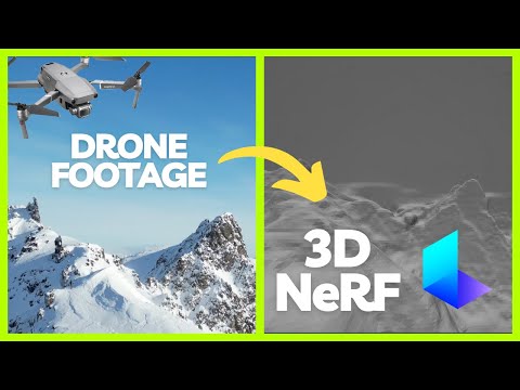
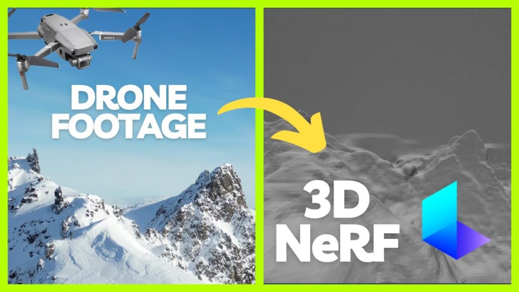
waypointmap.com, showing how readily available these tools are. It’s like choreographing a dance for your drone! - NeRFs Offer a Cutting-Edge Alternative: While photogrammetry is established, Neural Radiance Fields (NeRFs) are a newer, exciting development, as highlighted in Video 2, "Turning Drone Footage into 3D environment (NeRF)." NeRFs use AI to generate 3D scenes from a series of images or video footage. This could potentially simplify the process and offer different strengths compared to traditional photogrammetry, especially for dynamic scenes or complex geometries. Imagine turning a simple fly-around video into a fully navigable 3D environment!
- Accessibility for Hobbyists is Growing: What’s really compelling is the democratizing aspect. These videos demonstrate that you don’t need specialized, expensive surveying drones to get started. With careful planning and readily available software, even your trusty DJI Mini or Air series drone can contribute to creating 3D models. It’s about pushing the limits of what we already own.
- Software is the Secret Sauce: While the drone captures the raw data (images or video), the real magic happens in the processing software. These programs stitch together the images, correct for distortions, and generate the 3D model. The examples shown in Video 1’s links (aerialmodel.com) give a taste of the impressive results achievable with the right software and technique.
- Visual Detail is King: To get those truly stunning and accurate 3D models, you need to think about capturing everything. That means overlapping photos from various angles, ensuring good lighting, and even considering ground control points for enhanced accuracy in certain applications. It’s about capturing the nuances, the texture, the very essence of the object or landscape.
The Future is Three-Dimensional: Mapping New Possibilities
This isn’t just about creating cool 3D models for fun (though that’s definitely a perk!). Think about the real-world applications. Construction sites could be surveyed with incredible precision. Archaeological sites could be digitally preserved in breathtaking detail. Even real estate marketing could be revolutionized with interactive 3D tours generated from simple drone flights. The potential of drone-powered 3D scanning is vast, and as the technology matures and becomes more user-friendly, we’ll see even more innovative uses emerge. Imagine being able to create your own detailed 3D map of your favorite hiking trail, complete with accurate elevation data! The possibilities ignite the imagination.
The emergence of NeRFs, as showcased in Video 2, adds another fascinating layer. While photogrammetry often excels with static objects, NeRFs have the potential to handle more dynamic scenes, opening doors to capturing moving objects or scenes with complex lighting in 3D. It’s like the difference between capturing a still photograph and capturing a holographic video. This is a rapidly evolving field, and I’m eager to see where it goes.
Dive Deeper and Take Flight
Ready to explore the world of drone-powered 3D scanning yourself? The YouTube videos I’ve highlighted offer fantastic starting points. Scroll down and immerse yourself in the visual demonstrations and tutorials. Witness firsthand how everyday drones are being transformed into powerful 3D scanning tools. It’s an exciting time to be a drone enthusiast, and this fusion of aerial technology with 3D modeling is truly revolutionizing how we map and model our world. Get ready to see the world from a whole new perspective – the three-dimensional one!
The videos are featured below