Taking Command of the Skies: How Drone Flight Planning Software is Revolutionizing Aerial Data Collection 🚀
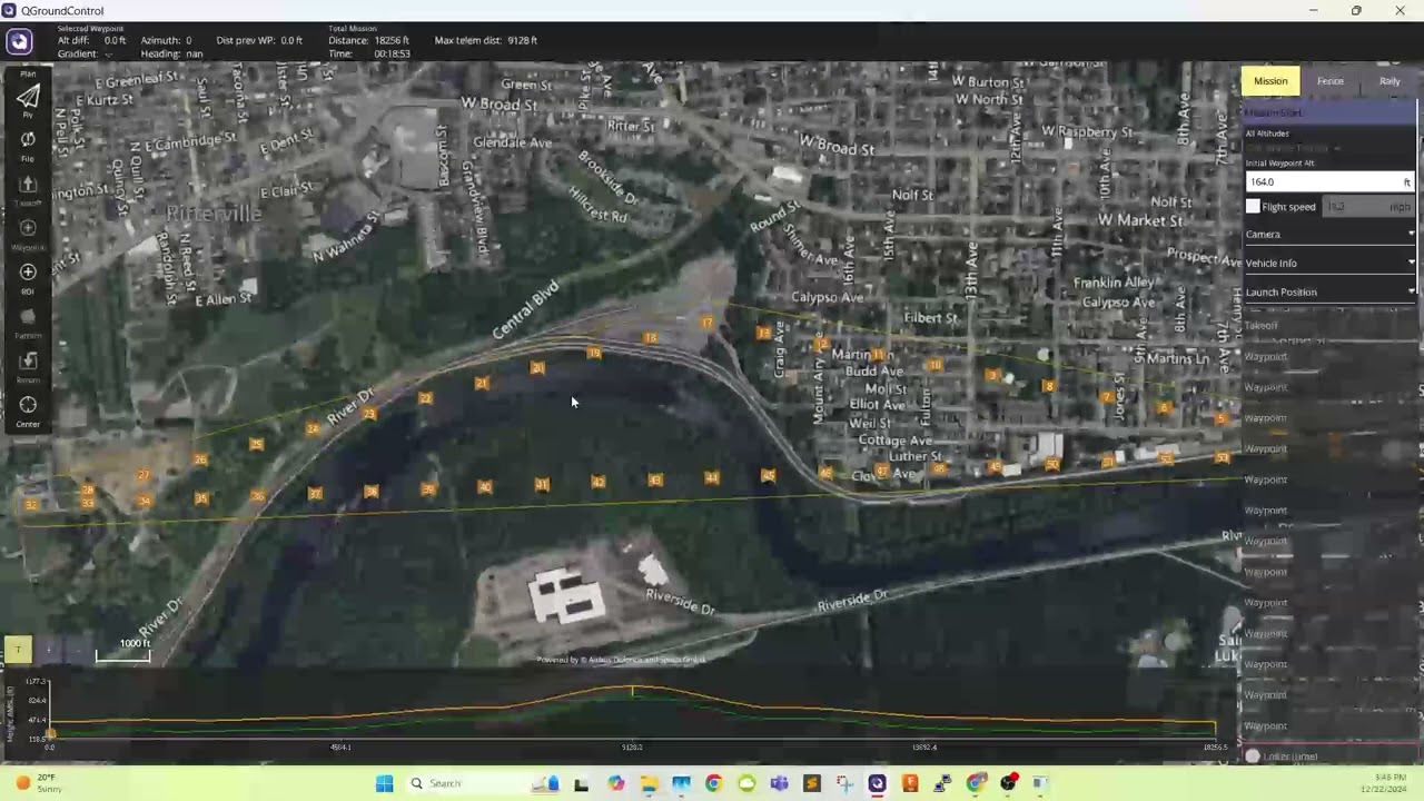
As a drone pilot with years of experience under my belt, I’ve witnessed firsthand the evolution of our industry. Remember those early days of manually plotting waypoints, meticulously calculating flight times, and hoping for the best? Those days are rapidly fading, thanks to the rise of sophisticated drone flight planning software. This isn’t just about convenience; it’s about precision, safety, and unlocking the true potential of aerial data collection. The following insights, gleaned from recent YouTube discussions, highlight just how profoundly this technology is changing the game. Think of it as moving from scribbled notes on a kneeboard to a fully integrated, digital flight deck – a transformation that empowers us to execute more complex and efficient missions than ever before.
Key Takeaways: Streamlining Your Aerial Operations
Here’s a breakdown of the critical advancements and insights discussed in the videos, showcasing how drone flight planning software is revolutionizing our approach to aerial data collection:
Automation is King (and Queen): Videos like "Automated Mission Planning with Drone Harmony" and "Drone Deploy EXPERT Shares Top Automation Secrets" underscore the power of automation. Imagine software that can automatically detect the structure you need to inspect or map, and then generate optimized flight paths – including complex maneuvers like orbits and facade scans – with minimal input. This not only saves significant time in pre-flight planning but also reduces the potential for human error during mission execution. It’s about shifting from manual control to strategic oversight.
Democratizing Complex Missions: Software is making advanced flight techniques accessible to a wider range of operators. As demonstrated in the Drone Harmony video, task-specific mission types simplify the creation of intricate flight patterns. This means even pilots relatively new to complex surveys can confidently execute missions that previously required extensive expertise. This accessibility is crucial for scaling drone operations and expanding their applications.
Efficiency Through Optimization: The "Drone Deploy EXPERT Shares Top Automation Secrets" video highlights the importance of optimized flight routes. By carefully planning parameters like altitude, overlap, and area coverage within the software, we can maximize battery life and minimize flight time while ensuring comprehensive data capture. This translates directly to cost savings and increased productivity on site. It’s about flying smarter, not harder.
High Accuracy, Streamlined Workflow: The "Your guide to high accuracy mapping in DroneDeploy | Tutorial" video emphasizes the seamless integration of flight planning with high-accuracy data acquisition. Features that facilitate the use of RTK/PPK and Ground Control Points (GCPs) within the planning phase are critical for achieving sub-inch accuracy. This integration simplifies the often complex workflow of high-precision surveying and mapping, making it more accessible and efficient. Think less time wrestling with data in post-processing, more time delivering actionable insights.
End-to-End Solutions for Seamless Operations: Platforms like WingtraCLOUD, featured in "Meet WingtraCLOUD: The future of drone mapping software," are pushing the boundaries by offering comprehensive, end-to-end solutions. These platforms integrate site setup, advanced 3D flight planning, intuitive syncing features, and simplified coordinate transformations. This holistic approach streamlines the entire workflow, from initial planning to final data delivery, fostering better collaboration and faster turnaround times.
Beyond Mapping: Creative Applications Emerge: While much focus is on mapping and inspection, the video "The New Drone Show Creator" showcases the versatility of flight planning software in entirely different domains. The ability to design and execute complex choreographed drone light shows highlights the potential for creative applications and demonstrates the sophisticated control these software platforms offer. This expands our understanding of what’s possible with precise aerial navigation.
Charting the Course Ahead: The Future of Drone Flight Planning
Looking ahead, the trend is clear: drone flight planning software will continue to become more intelligent and integrated. We can anticipate further advancements in AI-powered route optimization, predictive analytics for battery management, and even more intuitive user interfaces. Imagine software that not only plans your flight but also anticipates potential hazards based on weather patterns and airspace restrictions, dynamically adjusting the plan in real-time. The future of aerial data collection is one of increased autonomy, enhanced safety, and the ability to execute increasingly complex missions with confidence. The hum of the motors will be accompanied by the quiet hum of sophisticated algorithms working in the background, ensuring every flight is a success.
Ready to Elevate Your Drone Operations?
The videos highlighted above offer a glimpse into the transformative power of drone flight planning software. They showcase how these tools are not just about automating tasks, but about empowering pilots to achieve greater precision, efficiency, and safety in their aerial data collection efforts. Scroll down to explore the individual video highlights and witness these advancements in action. It’s time to move beyond basic flight and embrace the intelligent future of drone operations.
The videos are waiting below
Automated Mission Planning with Drone Harmonydroneharmony80 views | 4 | January 8 2025 12:13:09 (0 comments)[ Read more … ]
Do you find it difficult or time-consuming to create robust flight plans for complex sites?
Our system automatically detects the building, asset, or entire site that you want to inspect or map, and can create your flight plans for you.
The automated flight plan catalog has planning tools for simple orthomosiac creation, complex terrain mapping, facade inspection, or long linear projects. With task-specific mission types, you can automate orbit, double grid, perimeter, facade, and sideways scan linear missions, just to name a few.
Do you want to benefit from the simplest and most intuitive drone workflow on the market? Download Drone Harmony from the Google Play Store and start your free trial now!
Advertisement
Drone Deploy EXPERT Shares Top Automation SecretsNexxis Tutorials83 views | 6 | December 10 2024 11:00:42 (2 comments)[ Read more … ]
Description:Take your drone mapping to the next level with our step-by-step guide on automating flight plans using DroneDeploy!
🚁 In this video, we’ll show you how to create precise and efficient flight routes that save time and ensure accurate data collection for mapping, surveying, and inspection projects.
🎯 What You’ll Learn: – Setting up your DroneDeploy account and linking your drone – Planning and automating flight routes for mapping missions – Key settings for altitude, overlap, and area coverage – Tips for optimizing drone battery usage and safety – Exporting and processing your data for photogrammetry.
Whether you’re a GIS professional, a drone enthusiast, or just starting with aerial mapping, this tutorial is packed with practical insights to help you master automated flight planning.
0:00 Introduction 0:50 Navigating through Drone Deploy 1:32 Creating a Project in Drone Deploy 2:16 Setting up Your Project 2:47 Boundary Creation in Drone Deploy 4:10 Adgjusting Drone Deploy parameters 7:51 Conclusion
– Learn more about flight planning for photogrammetry and GIS projects on our channel.
📌 Don’t forget to subscribe and hit the notification bell for more drone tutorials! #gissoftware #DroneDeploy #DroneMapping #AutomatedFlightPlan #GIS #Photogrammetry
Advertisement
Drone Mapping for Beginners | Easy Steps to Start Today!Aeroview Drone Tech1,819 views | 24 | September 28 2024 17:41:22 (11 comments)[ Read more … ]
Welcome to our comprehensive guide on drone mapping for beginners! 🚀 In this video, we’ll break down the basics you need to know to get started with drone mapping!
🔔 Don’t forget to like, subscribe, and hit the notification bell for more drone tips and tutorials! _________________________________________________
Timestamps: 0:00 – Intro 0:11 -What is Drone Mapping 0:40 – Setup a Flight Plan 4:01 – Launching the Flight Plan 4:58 – Mapping Complete 5:17 – Post Processing Tutorial 8:15 – Mapping Results 9:31 – Mapping in Construction 10:23 – Mapping in Agriculture 10:53 – Mapping in Environmental Monitoring 11:18 – Other Fields for Mapping 11:38 – Outro
The New Drone Show CreatorSPH Engineering – Control Your Drones!1,218 views | 16 | November 18 2024 15:00:18 (3 comments)[ Read more … ]
The new Drone Show Creator is here to transform how drone shows are designed. Whether you’re just starting out or have years of experience, this software provides the essential tools to design shows both efficiently and effectively. With features like real-time control, 3D model integration and many more, Drone Show Creator simplifies the process of creating stunning drone light shows.
Founded in 2013 in Latvia (EU), SPH Engineering has a global customer and partner network in over 150 countries.
***Core technologies developed by SPH Engineering***
– UgCS: Flight Planning & Control = One of the world’s leading flight-planning software for complex drone surveys. – Integrated Systems = The core technology – SkyHub enables the advanced integration of drones, diverse sensors, and the UgCS software, expanding the capabilities of geophysical, hydrographic, industrial, archaeological surveying and environmental monitoring. – Drone Show Technologies = Leading solution to manage drone light shows for entertainment and advertisement. – Data Processing = Solutions for image, point cloud, geophysical data processing, and delivering essential technologies to facilitate your drone-based business. – Custom Development = Knowledge-based services to implement, integrate and develop technologies for the drone industry.
Advertisement
Your guide to high accuracy mapping in DroneDeploy | TutorialDroneDeploy2,379 views | 58 | August 17 2024 15:00:07 (0 comments)[ Read more … ]
Want to achieve sub-inch accuracy in your drone maps? This in-depth guide walks you through a high-accuracy drone mapping workflow using DroneDeploy, from flight planning to data upload and analysis.
Looking to take an even deeper dive? Check out our Complete Guide to high Accuracy → https://dronedeploy.com/lp/high-accuracy-playbook-lp
Timestamps:
0:00 – Introduction 1:36 – Topics We Cover 2:22 – Flight Planning 10:15 – RTK vs PPK 13:00 – Uploading Data and Tagging GCPs and Checkpoints 16:33 – Reviewing the Checkpoints
No matter when and where the mess strikes, stay on top of it with this compact, lightweight shop vacuum. The highly portable design is perfect for quick pick-ups around the house. Never before have we offered so much power and versatility in one portable package. The impressive 6.0 peak HP motor can handle any task, and when detached will blow you away.
Meet WingtraCLOUD: The future of drone mapping softwareWingtra184,234 views | 0 | June 5 2024 12:45:20 (4 comments)[ Read more … ]
Scale your operations faster than ever before with WingtraCLOUD, Wingtra’s latest innovation.
We are launching an easy-to-use, powerful end-to-end solution from site setup all the way through insight sharing.
Have all your projects in one view, connect your teams across locations instantly and feel confident flying even under tough conditions.
– Site-level organisation – Advanced 3D flight planning – Intuitive syncing features – Simplified coordinates transformation
Learn more, and step into the future of mapping: https://wingtra.com/wingtracloud/
Already ready for early access? Jump ahead of everyone and secure your spot: https://wingtra.com/wingtracloud/early-access/
Advertisement
About the Author
Patryk Alexander is an associate copy editor at 4kVideoDrones.com, where he sharpens articles and helps keep the website's content clean and error-free. With a background in creative writing, Patryk brings a unique perspective to his editing that helps make 4kVideoDrones.com's content engaging and informative. When he's not editing or writing, Patryk enjoys spending time with his family and exploring the great outdoors.