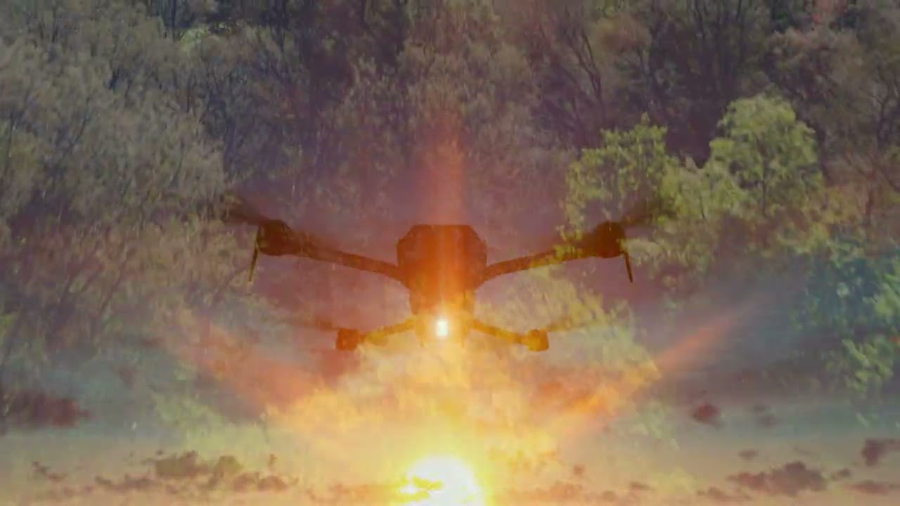
Drones: Reshaping Construction Surveys – Unlocking Precision from Above
As a drone pilot and instructor, I’m constantly amazed by the evolution of drone technology and its impact on industries like construction. These videos dive into a critical aspect of that evolution: using drones for construction surveys. They explore how this technology is pushing the boundaries of precision, efficiency, and safety, changing how we plan, execute, and manage projects. We’ll unpack topics from the essentials of drone mapping software and hardware selection to the legal considerations every responsible pilot must understand. Ready for takeoff? Let’s explore how drones are revolutionizing construction surveys.
Key Insights: Mapping Out the Future of Construction
Drone Mapping Fundamentals: Understanding the basics of photogrammetry – how overlapping images create accurate 2D and 3D maps – is paramount. We’ll demystify concepts like Ground Sample Distance (GSD) and its importance in achieving survey-grade accuracy.
Hardware and Software Selection: Choosing the right tools for the job is crucial. We’ll review various drone platforms, from consumer-grade to professional survey drones, alongside software options for processing and analyzing the collected data. Learn about Real-Time Kinematic (RTK) GPS and its role in enhancing accuracy.
Workflow and Validation: From pre-flight planning and autonomous flight paths to data processing and validation, these videos break down the entire drone surveying workflow. They emphasize the importance of quality control and checks to ensure accurate data.
Legal Landscape: Operating drones commercially involves understanding regulations. We’ll delve into certifications (like the FAA’s Part 107 in the US), permits, airspace restrictions, and the evolving legal landscape surrounding drone operations.
Deliverables and Applications: Discover how drone surveys generate valuable deliverables like orthomosaic maps, 3D models, and volumetric calculations used for progress tracking, material estimation, and site analysis. We’ll see how this translates into tangible benefits: reduced timeframes, improved safety, and data-driven decision making.
Beyond the Horizon: The Expanding Scope of Drone Surveys
Drones in construction are not a fleeting trend; they represent a fundamental shift in how we approach surveying. We’re seeing increased integration of Artificial Intelligence (AI) and Machine Learning (ML) into drone platforms and software, enabling automated data analysis and feature recognition. Imagine drones autonomously identifying potential safety hazards on a construction site or predicting material needs based on project progress. These possibilities are quickly becoming realities.
Ready to Elevate Your Construction Survey Game?
This is just the beginning. Scroll down and watch the curated video highlights to gain a deeper understanding of how drones are revolutionizing precision in construction surveying. Embrace this transformative technology, and you’ll be well-equipped to navigate the future of the construction industry.
Watch the videos below
How to be a Drone Mapping Pro | Deep DiveSteel City Drones115,396 views | 2,928 | March 9 2024 19:07:56 (128 comments)[ Read more … ]
If you want to know more about Drone Mapping & Drone Survey’s this is the ultimate guide for you. Dave King breaks down every element of mapping including which drones to use for 2D & 3D maps, which drone equipment to use for Survey work, and what all the work flow processes to consider for Drone Mapping. We review Drone processing software as well as the validation processes that are essential to make sure the drone data collected is as expected.
02:11 Can I create simple 2D or 3D maps easily with my own drone?
02:32 What is Drone Photogrammetry?
02:54 Survey grade accuracy versus Consumer Grade accuracy
04:38 Why some drone cameras are not ideal mapping
06:13 Benefits of RTK GPS
07:00 Benefits of Drone Terrain Following
07:25 What is Ground Sample Distance
08:07 Why Validating the Drone Data is so important
08:50 Introduction to Survey Base stations and why they need reference GEO data
10:14 What is and how to calibrate recorded Rinex data
10:47 Introduction to Drone Ground Control Points
11:44 Recommended practices for GPC’s and cost breakdown
12:18 Difference between Survey base and rovers
13:17 What are Check Points for mapping?
14:30 Limitations of the DJI DRTK2 base station compared to 3rd party base stations
15:45 Complete Price break down for data equipment
16:27 Why we recommend EMLID Reach GNSS Receivers
For more information on which drone’s and equipment to use please visit https://www.steelcitydrones.com or email us at support@steelcitydrones.com or call us at 866-376-6375 866-DRONES5
How to do Drone Mapping | Best Mapping Drones & SoftwareDrone U72,628 views | 2,357 | November 27 2023 23:54:03 (143 comments)[ Read more … ]
🚀 Download your free guide and learn the secrets of drone mapping: https://join.thedroneu.com/optin1635325864490
Check out our Comprehensive Drone Mapping Guide: https://www.thedroneu.com/blog/drone-mapping-guide/ ✈️
Ever wondered how cutting-edge technology is transforming the way we view and interact with our world? Join us in this fascinating journey into the realm of drone mapping as we explore the essentials of this groundbreaking technology.
🌍 Understanding the Basics of Map Quality:
Discover the key elements that contribute to high-quality drone maps. From resolution and accuracy to data processing techniques, we break down the fundamentals that make drone mapping an indispensable tool for various industries.
🛰️ Autonomous Flight Paths: Navigating the Skies with Precision:
Explore the magic behind autonomous flight paths. Learn how drones can navigate and capture data seamlessly, ensuring every inch of your project area is mapped with unprecedented accuracy. We delve into the technology that makes autonomous flights a game-changer for efficiency and data integrity.
💻 Choosing the Right Mapping Software for Your Deliverables:
Not all mapping software is created equal. Join us as we evaluate the top players in the field, examining their features and capabilities. Whether you’re focused on 3D modeling, crop analysis, or construction site mapping, we guide you in selecting the best software based on your unique project deliverables.
🚁 The Best Drones for Drone Mapping:
Explore the skies with confidence using the most advanced drones tailored for mapping applications. From industry giants to compact yet powerful options, we compare and contrast the best drones, considering factors like camera capabilities, flight time, and durability. Make an informed choice for your next mapping mission!
🎓 Knowledge is Power:
Whether you’re a seasoned professional or a curious enthusiast, this video provides a comprehensive understanding of the drone mapping landscape. Elevate your knowledge and skills as we demystify the technology shaping the future of mapping and surveying.
Best Processing Software: Pix4d Mapper
Best Cloud Processing Software: Drone Deploy
Best Rapid Orthomosaic Software: Pix4d React
Best Life Like 3D Modeling Software: Capturing Reality
Best Industrial Mapping Software: Optelos
Best Software to integrate maps with government Entities: ESRI
Yes, you can make life like 3d Models with the Mini 4 Pro and Luma Labs!
Download and listen to the audio version of the Ask Drone U podcast, and get your drone and business related questions answered here: http://askdroneu.com/.
Check out our latest Live Classes for Drone Mapping/Operations
| https://thedroneu.clickfunnels.com/all2020trainingevents |
🔥Drone U Recommended Drones:
Best Travel Drone: https://click.dji.com/ADXzWsLrapRo93aNU2HZ_g?pm=link&as=0001&ch=DUPAAW
Best Video Drone: https://amzn.to/2HnRElC
Best Photography Drone: https://amzn.to/2HjQbg2
🔥Become a Member
Learn why more pilots choose Drone U for learning how to fly and turn your passion into profit. https://www.thedroneu.com/become-a-member/
Subscribe to the podcast on iTunes and, if you don’t mind, leave us a 5-star review while you’re there: https://itunes.apple.com/us/podcast/ask-drone-u/id967352832.
Ultimate Guide To Drone MappingDrone Launch Academy38,713 views | 1,220 | May 24 2024 13:00:48 (103 comments)[ Read more … ]
Have you ever wondered how detailed 3D maps and models are created? Or how land is surveyed efficiently? This video takes you into the world of drone mapping technology.
Timestamps:
0:00-1:03 Intro
1:04-4:40 Understanding drone mapping and photogrammetry
4:41-9:55 Applications and benefits
9:56-19:30 Equipment and software
19:31-33:02 4 steps to create a map
33:03-40:54 Regulations and market trends
40:55-41:49 Outro
Drone mapping uses unmanned aerial vehicles (drones) equipped with high-resolution cameras and sensors to capture aerial images and data for creating maps and 3D models. It’s revolutionizing how we collect and analyze spatial information across industries like agriculture, construction, environmental monitoring, disaster response, and urban planning.
In this video, you’ll learn the ins and outs of drone mapping. We’ll cover how drones capture images in a grid pattern and specialized software stitches them together into incredibly detailed orthomosaic maps. You’ll see the advantages of using drones over traditional mapping methods, like higher precision, easier access to remote areas, rapid data collection, and cost savings.
We’ll guide you through the essential equipment needed, from selecting the right drone and camera to using GPS receivers, ground control points, and flight control software. You’ll discover the latest mapping software options and how to choose the right one for your needs.
But mapping with drones isn’t just about the tech. We’ll also dive into the legal considerations, including certification, permits, privacy laws, insurance requirements, and local regulations you need to follow.
__________
Until June 30, 2024 we are offering you FREE access to our $79 workshop on how to take construction site progress shots. This workshop goes hand in hand with mapping and can help you learn more about what progress shots are and why they are important. You will get a step by step guide to getting progress shots and what the final deliverables should look like.
Get access to the workshop here while you still can! https://courses.dronelaunchacademy.com/p/how-to-take-project-progression-shots?coupon_code=FREE&product_id=5028651
__________
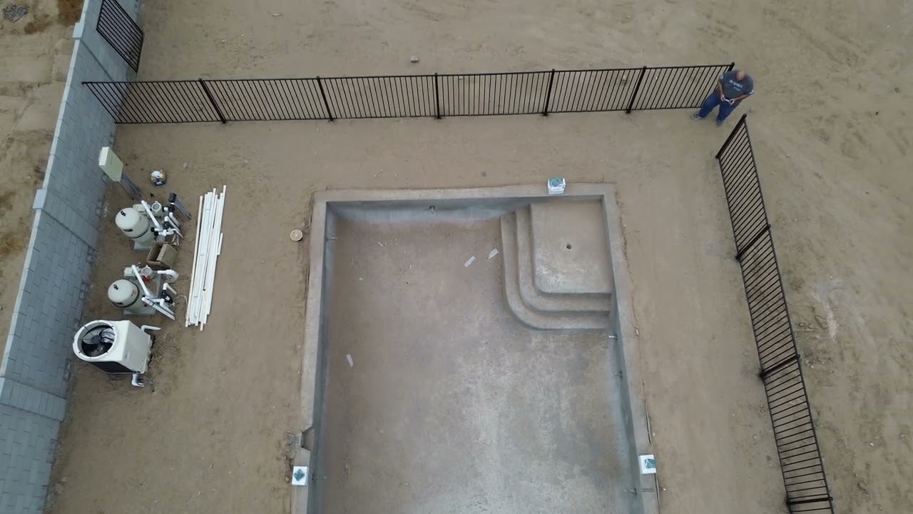
Drone setup for construction earthworks survey!The Drone Life19,238 views | 212 | May 15 2024 16:10:08 (7 comments)[ Read more … ]
On location today setting up for some drone earthworks mapping! The importance of proper grading design and procedures on a construction site can’t be overstated. Although particularly important within civil engineering projects, earthworks touch every sector of the construction industry — from residential, to commercial, to mixed-use and more. Learn more about the challenges for earthworks contractors 👉 Top 5 Challenges for Earthworks Contractors and How Drones Will Solve Them 🔗 https://thedronelifenj.com/earthworks-contractors-how-drones-solve/
#earthworks #contractors #drones
►Our Must-Have Drone Equipment Checklist
✅ Budget Friendly Ground Control Points (GCPs) – http://bit.ly/3nAT2pH
✅ Drone Mapping RTK Base & Rover GNSS Reciever – https://bit.ly/3Jo526a
✅ Most Reliable SD Card for Drone Mapping – http://bit.ly/3lZOhWn
✅ Heavy Duty Landing Pad – http://bit.ly/3zt1hXA
✅ Collapsable Orange Safety Cones – http://bit.ly/40Tr2fp
✅ OSHA Certified Safety Vest -http://bit.ly/3KsycSt
✅ Wind Speed Anemometer Gauge – http://bit.ly/3ZCaYO5
✅ Best Flight Planning Tablet – http://bit.ly/40Dci4q
✅ Handheld VHF Airband Transceiver – http://bit.ly/40AyLPP
►About The Drone Life
The Drone Life is an industry-leading UAS service provider that provides turnkey aerial data solutions nationwide. We proudly specialize in the industrial, environmental, renewable, and construction industries. Our team consists of highly experienced, dependable, and licensed drone professionals that are committed to safety, quality, and customer success.
How Drones are used in Construction | Construction DeliverablesDrone U8,935 views | 338 | March 5 2024 19:24:04 (41 comments)[ Read more … ]
Discover the cutting-edge role of drones in revolutionizing the construction industry. In this eye-opening video, we delve into how drones are not just a tool for aerial photography but a pivotal part of keeping construction projects on time, providing a permanent record of installations, conducting precise material audits, and facilitating data-driven decisions.
🚀 Key Highlights:
On-Time Project Delivery: Witness real-life stories where drones played a crucial role in keeping construction projects on track, overcoming challenges that traditional methods couldn’t tackle.
Permanent Installation Records: Explore how drones offer a detailed and permanent visual record of installations, aiding in quality assurance and project documentation.
Material Auditing with Precision: See drones in action as they audit materials on-site, ensuring accurate inventory management and reducing waste.
Data-Driven Decisions: Learn about the transformation in construction decision-making processes through comprehensive data collected by drones, enhancing efficiency and productivity.
🔍 Why Watch?:
Whether you’re a construction professional looking to leverage technology, a tech enthusiast curious about the practical applications of drones, or simply fascinated by how modern technology is reshaping traditional industries, this video is for you. Dive into the world of drones in construction with us and discover how these flying marvels are building the future, one project at a time.
✅ Subscribe for more insights into how technology is revolutionizing industries and transforming our world.
📢 Engage with Us:
Like this video if you found it informative.
Comment below with your thoughts or any questions you have about drones in construction.
Share this video with peers and professionals who could benefit from these insights.
🔗 Follow Us for updates and more content on innovative technologies and their impact on various industries.
🔥Become a Member
Learn why more pilots choose Drone U for learning how to fly and turn your passion into profit. https://www.thedroneu.com/become-a-member/
Subscribe to the podcast on iTunes and, if you don’t mind, leave us a 5-star review while you’re there: https://itunes.apple.com/us/podcast/ask-drone-u/id967352832.
Mapping before constructing 👷🏻♂️🎥 @DroneDeploySF #dji #drone #mapping #construction #3dmodelingDJI Enterprise10,131 views | 403 | August 16 2024 15:00:04 (12 comments)[ Read more … ]
Mapping before constructing is key to a successful project! Watch as we use drones for mapping and 3D modeling of a pre-construction work site.
___________________________
3D Model, Mapping, Construction, Surveying, DroneDeploy
Advertisement
About the Author
Patryk Alexander is an associate copy editor at 4kVideoDrones.com, where he sharpens articles and helps keep the website's content clean and error-free. With a background in creative writing, Patryk brings a unique perspective to his editing that helps make 4kVideoDrones.com's content engaging and informative. When he's not editing or writing, Patryk enjoys spending time with his family and exploring the great outdoors.