Introduction: Level Up Your Site Surveys with Drone Power
Forget trudging through overgrown fields or battling precarious scaffolding – the future of site surveys is here, and it’s airborne! This webpage dives into the insights gleaned from top YouTube channels showcasing how drones are transforming how we map and understand complex sites. From construction sites spanning half a million square feet to intricate environmental assessments, these videos reveal how readily accessible drone technology, combined with powerful mapping software, is streamlining workflows, boosting accuracy, and saving time and money. We’ll explore the practical applications, the software tools, and the equipment you need to take your site surveys to the next level. Get ready to explore how drone mapping is revolutionizing detailed site surveys, one breathtaking aerial perspective at a time!
Key Takeaways from Top Drone Mapping Videos:
Orthomosaic Mapping is a Game-Changer: Learn how orthomosaic maps (essentially highly accurate aerial images with corrected geometry) provide invaluable insights for construction projects, improving communication, planning, progress monitoring, and stakeholder collaboration. These aren’t your grandpa’s aerial photos!
Photogrammetry: From 2D to 3D Modeling: Discover the power of photogrammetry, a technique that uses overlapping drone images to create accurate 3D models of sites. This opens up a world of possibilities for visualization, volume calculations, and detailed analysis that were previously only achievable through laborious and expensive ground surveys.
DroneDeploy and Other Software Simplify the Workflow: See how intuitive software like DroneDeploy streamlines the entire drone mapping process, from flight planning and data capture to post-processing and report generation. These platforms make professional-grade results achievable, even for hobbyists.
Essential Equipment & Best Practices: Get a curated list of the best equipment, including drones (like the Mavic 2 Pro featured in many videos), Ground Control Points (GCPs) for accuracy, and reliable SD cards. The videos also cover crucial best practices for data capture and processing to ensure reliable and accurate results.
Beyond Construction: Broader Applications: While construction is a major focus, the videos highlight drone mapping’s versatility in environmental monitoring, renewable energy projects, and other industries. The possibilities are endless.
Soaring to New Heights: Future Trends in Drone Site Mapping
The advancements showcased in these videos are just the beginning. We can expect to see even more sophisticated AI-powered analysis within mapping software, allowing for automatic object detection, damage assessment, and predictive modeling. Integration with existing GIS platforms further enhances the value of drone-captured data, putting powerful insights at the fingertips of professionals. We’re also seeing a move towards smaller, more affordable drones with improved image quality and flight capabilities, making this technology even more accessible to a wider range of users.
Take Flight: Watch the Video Highlights Now!
This is just a taste of the incredible potential of drone mapping for detailed site surveys. Ready to learn more and see it in action? Scroll down to watch highlights from these insightful YouTube videos and unlock the power of aerial perspectives for your next project. Let’s get started!
Keep scrolling to see the videos
Drone Mapping for Construction: Complete GuideThe Drone Life321,014 views | 9,012 | November 17 2021 22:43:05 (169 comments)[ Read more … ]
Claim Your FREE GUIDEBOOK to Using Drones in Construction 👇
https://bit.ly/42MY2b9
In this video, you will learn what are orthomosaic drone maps, the benefits of drone mapping in construction, and how to map a construction site using a drone.
So if you are a construction company looking to get started in drone mapping or if you’re a pilot looking to expand your service offerings, this video is for you.
We’ve been producing 2D orthomosaic maps at this 500,000 Sq Ft warehouse job site. These maps are greatly beneficial for improving communication, planning construction phases, keeping records, monitoring progress, and sharing with project stakeholders.
Using a Mavic 2 Pro drone and mapping software Dronedeploy, we’re going to share our mapping workflows, best practices, and tips!
►Resources
➡️ Start Your FREE 14-Day DroneDeploy Trial Now – http://bit.ly/3EPADdN
►Equipment Used in this Video
Mavic 2 Pro Drone – https://amzn.to/3C62yom
►Our Must-Have Drone Equipment Checklist
✅ Budget Friendly Ground Control Points (GCPs) – http://bit.ly/3nAT2pH
✅ Most Reliable SD Card for Drone Mapping – http://bit.ly/3lZOhWn
✅ Heavy Duty Landing Pad – http://bit.ly/3zt1hXA
✅ Collapsable Orange Safety Cones – http://bit.ly/40Tr2fp
✅ OSHA Certified Safety Vest -http://bit.ly/3KsycSt
✅ Wind Speed Anemometer Gauge – http://bit.ly/3ZCaYO5
✅ Best Flight Planning Tablet – http://bit.ly/40Dci4q
✅ Handheld VHF Airband Transceiver – http://bit.ly/40AyLPP
►About The Drone Life
The Drone Life is an industry-leading UAS service provider that provides turnkey aerial data solutions nationwide. We proudly specialize in the industrial, environmental, renewable, and construction industries. Our team consists of highly experienced, dependable, and licensed drone professionals that are committed to safety, quality, and customer success.
►Chapters
0:00 Intro
0:34 What are orthomosaic drone maps?
1:21 Benefits of drone mapping
3:58 Flight planning
14:28 Flying the site
18:49 Conclusion
#dronemapping #dronesinconstruction #construction
Advertisement
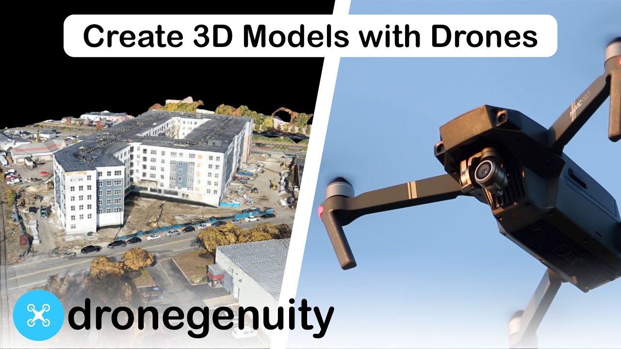
Aerial Photogrammetry Explained – Create 3D Models With Drone Photosdronegenuity244,549 views | 5,674 | January 30 2020 16:00:40 (64 comments)[ Read more … ]
Photogrammetry triangulates points across images to create digital spacial models. Software tools use photogrammetry to turn aerial photos into accurate 3D models. Learn more here – https://www.dronegenuity.com/aerial-photogrammetry/
⬇︎SHOW MORE⬇︎
About
Dronegenuity is a leading nationwide provider of aerial drone photography, video production, and mapping services. We operate across a wide range of industries including real estate & development, construction & engineering, energy, financial services, and work with thousands of skilled pilots in North America.
💡Learn More – https://www.dronegenuity.com/
_________________________________________
🚁Apply to be a Drone Pilot – https://www.dronegenuity.com/pilot-application/
📰Join our newsletter – https://conta.cc/2L7sMjz
_________________________________________
You May Also Like:
How Big Can You Print A Drone Photo?
https://youtu.be/FYTlrPJY7Es
How to Take Amazing HDR Drone Photos & Save Time Editing
https://youtu.be/4u5FdDeexj0
Point of Interest Tutorial
https://youtu.be/ou2iV0u-U2o
What does a drone see from 400, 300, 200, and 100 feet?
https://youtu.be/JIfLuTQbCJ8
How to Take Amazing Long Exposure Photos – DJI Drones
https://youtu.be/CvE7lAlPZYw
How to Take Great Drone Photos
https://youtu.be/54qv-3EPTvE
How to Connect Your Drone to DroneDeploy
https://youtu.be/YtGxdAMFFd4
Best Camera Settings – DJI Mavic Pro
https://youtu.be/D8EIkoHRi0Q
DroneDeploy Review – Aerial 3D Mapping Software
https://youtu.be/i2vJYv0aIcE
Controller Display Screen Overview – DJI Mavic Pro
https://youtu.be/W4xC2GCWTgE
Drone 2D Mapping Post Processing – Complete TutorialThe Drone Life29,771 views | 937 | October 31 2022 11:00:45 (54 comments)[ Read more … ]
Claim Your FREE GUIDEBOOK to Using Drones in Construction 👇
https://bit.ly/42MY2b9
In this video, we take a deep dive into Drone 2D Mapping and Post-Processing. We start off with a detailed explanation of how to capture drone maps, working with data uploads, and move on to a comprehensive look at the map tools all the way through to exporting your data using the reports available. For viewers who are interested in jumping to a specific part of the video we have created individual chapters below, just click on the time marks to see the content for each chapter.
DroneDeploy software has mapped over 200 million acres on 400,000 different job sites and their stated mission is to “make the skies open and accessible for everyone.” Their business consists of data capture, analysis of the data, and then processing the data to output asset reports for their customers. The platform is great for companies of any size and allows them to improve their workflow through data storage, scalable image processing, and shareable real-time drone maps and 3D models.
The Drone Life has extensive experience creating aerial maps for construction, environmental, and renewable industries. We work with general contractors, developers, and investment firms to create unique asset reports from data collected by drone flights. We have an expert team of highly qualified licensed professionals ready to document your very own project. To speak to an expert today visit https://thedronelifenj.com
►Resources
➡️ Start Your FREE 14-Day DroneDeploy Trial Now – http://bit.ly/3EPADdN
(Video) Drone Mapping for Construction: Complete Guide – https://youtu.be/OkhuTr9YkNk
(Article) Drone GCPs: Do You Need Them, How They Work, and Which Ones to Buy – https://thedronelifenj.com/drone-ground-control-points
DroneDeploy Support Docs – https://help.dronedeploy.com/hc/en-us
►Equipment Used in this Video
Mavic 2 Pro Drone – https://amzn.to/3C62yom
►Our Must-Have Drone Equipment Checklist
✅ Budget Friendly Ground Control Points (GCPs) – http://bit.ly/3nAT2pH
✅ Most Reliable SD Card for Drone Mapping – http://bit.ly/3lZOhWn
✅ Heavy Duty Landing Pad – http://bit.ly/3zt1hXA
✅ Collapsable Orange Safety Cones – http://bit.ly/40Tr2fp
✅ OSHA Certified Safety Vest -http://bit.ly/3KsycSt
✅ Wind Speed Anemometer Gauge – http://bit.ly/3ZCaYO5
✅ Best Flight Planning Tablet – http://bit.ly/40Dci4q
✅ Handheld VHF Airband Transceiver – http://bit.ly/40AyLPP
►About The Drone Life
The Drone Life is an industry-leading UAS service provider that provides turnkey aerial data solutions nationwide. We proudly specialize in the industrial, environmental, renewable, and construction industries. Our team consists of highly experienced, dependable, and licensed drone professionals that are committed to safety, quality, and customer success.
Accurate Geospatial Intelligence from Drone Imagery with Esri & DJIArcGIS7,328 views | 86 | November 12 2020 21:56:10 (6 comments)[ Read more … ]
Site Scan for ArcGIS is an all-in-one drone mapping software. In this webinar learn more about how Esri worked with partner DJI in Site Scan for ArcGIS’s latest update: implementing the ability to geolocate video files coming from a DJI drone. Site Scan users are now able to leverage videos taken in Site Scan within the ArcGIS FMV toolbar to annotate, measure, and analyze the high-resolution drone footage along with existing GIS data. Now they can use off-the-shelf drone hardware to enrich their GIS in ways not available before!
—————————————————————————————————
Follow us on Social Media!
Twitter: https://twitter.com/Esri
Facebook: https://facebook.com/EsriGIS
LinkedIn: https://www.linkedin.com/company/esri
Instagram: https://www.instagram.com/esrigram
The Science of Where: http://www.esri.com
Advertisement
About the Author
Patryk Alexander is an associate copy editor at 4kVideoDrones.com, where he sharpens articles and helps keep the website's content clean and error-free. With a background in creative writing, Patryk brings a unique perspective to his editing that helps make 4kVideoDrones.com's content engaging and informative. When he's not editing or writing, Patryk enjoys spending time with his family and exploring the great outdoors.