The Sky’s the Limit: Precision Flight Paths in Drone Mapping
The demand for highly accurate spatial data is rapidly increasing across industries, and drones are at the forefront of meeting this need. Whether it’s for monitoring progress on a massive construction site, creating detailed 3D models for urban planning, or generating precise orthomosaic maps for environmental analysis, the accuracy of a drone’s flight path is paramount. But what are the practical steps and key technologies driving this revolution in aerial precision? And how can professionals leverage these tools to achieve mapping excellence? This curated collection of YouTube video insights dives into the essential aspects of achieving accurate drone flight paths for mapping, exploring techniques, software, and real-world applications that are shaping the future of drone-based geospatial data acquisition. These videos offer a practical look into the methods and technologies that are making “Drone Precision 🎯: Mapping the Future” a reality today.
Key Insights from Drone Mapping Experts
Orthomosaic Maps for Construction Efficiency: Video 1, “Drone Mapping for Construction: Complete Guide,” underscores the practical benefits of orthomosaic maps in construction. By employing drones with precise flight paths, construction companies can generate high-resolution maps that streamline communication, improve project planning, accurately track progress, and maintain detailed records. Software like DroneDeploy, coupled with drones such as the Mavic 2 Pro, facilitates efficientdata capture and processing, turning aerial imagery into actionable intelligence on site conditions. Accurate drone flight paths are foundational for creating these valuable orthomosaic maps, ensuring each image contributes to a cohesive and spatially accurate representation of the construction site.
Speed and Precision: GCPs and Automatic Flight Plans: “Master Drone Mapping in LESS Than 2 minutes” (Video 2) emphasizes efficiency without sacrificing accuracy. This video highlights the critical role of Ground Control Points (GCPs) and automated flight planning in achieving accurate drone flight paths swiftly. Proper GCP placement and surveying, combined with well-designed automatic flight paths, are crucial for reliable data collection. The focus on pre-flight drone checks further reinforces the commitment to data integrity and mission success. For professionals seeking to maximize productivity in drone mapping, mastering these rapid, yet precise, workflows is essential.
Transforming Consumer Drones into 3D Scanners: Video 3, “Turn ANY Drone into a 3D SCANNER And Make 3D Models w/ Photogrammetry,” demonstrates the power of photogrammetry in creating detailed 3D models from drone imagery. Achieving reliable and accurate 3D models hinges on precise and consistent drone flight paths to ensure sufficient image overlap and coverage. The video references flight planning tools and websites, like Waypointmap.com, which are vital for programming flight paths optimized for photogrammetric data capture. This insight broadens the applicability of drones, showing how even consumer models can become powerful 3D scanning tools with correct flight execution.
Autonomous Flight for Detailed 3D Modeling: “Autonomous Drone Flight – Map Pilot iOS Tutorial Part 1” (Video 4) delves deeper into the practicalities of autonomous drone missions for 3D modeling. Using apps like Map Pilot for iOS, pilots can program detailed, repeatable flight paths that ensure consistent data acquisition. The video’s demonstration of modeling a complex rock formation showcases the level of detail achievable through autonomous flight and careful planning. For tasks demanding consistent image capture and highly accurate flight paths, autonomous flight planning apps are invaluable.
Geospatial Intelligence with Integrated Software: Video 5, “Accurate Geospatial Intelligence from Drone Imagery with Esri & DJI,” spotlights the power of integrated software solutions like Esri’s Site Scan for ArcGIS in extracting valuable geospatial intelligence. This video highlights the advancement in drone mapping software to process video data, in addition to still images, within a GIS environment. The ability to geolocate and analyze video files from DJI drones within ArcGIS FMV enhances the richness of GIS data and underscores the increasing sophistication of tools for analyzing drone-collected data. Accurate flight paths and geotagged data are the foundation upon which these powerful analytical capabilities are built.
Precision in Practice: The Path Forward
The insights from these videos converge on a central theme: achieving accurate drone flight paths is not merely about flying a drone, but about meticulously planning, executing, and processing data with precision at every stage. From leveraging GCPs for ground-truthing to utilizing autonomous flight planning software for repeatable missions, and integrating data with powerful GIS platforms, the emphasis is on data integrity and actionable accuracy. Looking ahead, we can anticipate even greater reliance on AI-driven flight path optimization, enhanced sensor technologies, and streamlined data processing workflows. The continued evolution of both drone hardware and software will undoubtedly push the boundaries of what’s achievable in drone mapping, driving even greater precision in flight and in the geospatial insights we derive from the skies.
Explore the Future of Drone Mapping – Watch the Highlights
Want to see these principles in action and learn more about achieving accurate drone flight paths for your own mapping projects? Scroll down to explore video highlights and delve deeper into the techniques and technologies discussed. The future of precision aerial mapping is here, and it’s within reach.
View the highlighted videos below
Drone Mapping for Construction: Complete GuideThe Drone Life326,634 views | 9,167 | November 17 2021 22:43:05 (170 comments)[ Read more … ]
Claim Your FREE GUIDEBOOK to Using Drones in Construction 👇 https://bit.ly/42MY2b9
In this video, you will learn what are orthomosaic drone maps, the benefits of drone mapping in construction, and how to map a construction site using a drone.
So if you are a construction company looking to get started in drone mapping or if you’re a pilot looking to expand your service offerings, this video is for you.
We’ve been producing 2D orthomosaic maps at this 500,000 Sq Ft warehouse job site. These maps are greatly beneficial for improving communication, planning construction phases, keeping records, monitoring progress, and sharing with project stakeholders.
Using a Mavic 2 Pro drone and mapping software Dronedeploy, we’re going to share our mapping workflows, best practices, and tips!
►Resources ➡️ Start Your FREE 14-Day DroneDeploy Trial Now – http://bit.ly/3EPADdN
►Our Must-Have Drone Equipment Checklist ✅ Budget Friendly Ground Control Points (GCPs) – http://bit.ly/3nAT2pH ✅ Most Reliable SD Card for Drone Mapping – http://bit.ly/3lZOhWn ✅ Heavy Duty Landing Pad – http://bit.ly/3zt1hXA ✅ Collapsable Orange Safety Cones – http://bit.ly/40Tr2fp ✅ OSHA Certified Safety Vest -http://bit.ly/3KsycSt ✅ Wind Speed Anemometer Gauge – http://bit.ly/3ZCaYO5 ✅ Best Flight Planning Tablet – http://bit.ly/40Dci4q ✅ Handheld VHF Airband Transceiver – http://bit.ly/40AyLPP
►About The Drone Life The Drone Life is an industry-leading UAS service provider that provides turnkey aerial data solutions nationwide. We proudly specialize in the industrial, environmental, renewable, and construction industries. Our team consists of highly experienced, dependable, and licensed drone professionals that are committed to safety, quality, and customer success.
Master Drone Mapping in LESS Than 2 minutesFlying Surveyor396 views | 0 | June 26 2024 16:00:35 (2 comments)[ Read more … ]
Need Geospatial Consultancy? https://www.stefanengineering.co.uk/contact
Tips and tricks for gathering precise data and ensuring your mapping project is a success. By the end of this video, you’ll have a clear understanding of the complete drone mapping process, allowing you to conduct accurate and efficient site surveys with confidence.
🔔 Subscribe to Flying Surveyor for more tips on surveying, drone mapping, and construction small business advice. Don’t forget to hit the bell icon to stay updated with our latest videos!
Turn ANY Drone into a 3D SCANNER And Make 3D Models w/ PhotogrammetryJays Tech Vault31,709 views | 810 | June 4 2024 16:00:49 (51 comments)[ Read more … ]
Turn your drone into a 3d scanner. Create stunning 3d models with any consumer drone. Learn how to make reliable and accurate 3d models and maps with any consumer drone through a process called photogrammetry.
Models from this video: https://www.aerialmodel.com/Home/Viewer?id=241&token=61be705f-0100-4b86-a442-72102fa38c86 https://www.aerialmodel.com/Home/Viewer?id=238&token=a686d651-2ffc-41fc-bcca-fc85bfede566
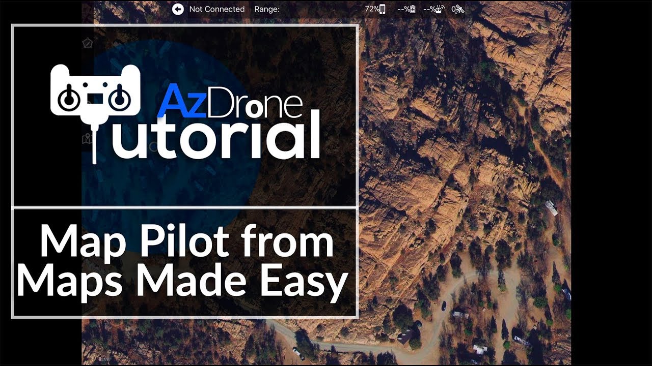
Autonomous Drone Flight – Map Pilot iOS Tutorial Part 1AZ Drone21,361 views | 267 | June 1 2018 12:21:41 (25 comments)[ Read more … ]
Today’s tutorial covers setting up your first drone mission with Maps Made Easy, Map Pilot for iOS. It’s a fantastic autonomous drone app that can help you make some very detailed 3D models with your drone. We’ll be using a DJI Mavic Pro to put together a 3D model of an interesting rock formation in Prescott Arizona.
To learn more about Rich’s other endeavors check out: http://rlcdesign.net https://www.youtube.com/channel/UCqgU_7HlSvmgMdZXjx9-syw Rich’s Photo Gear: https://kit.com/gadgetat/photography-kit
Accurate Geospatial Intelligence from Drone Imagery with Esri & DJIArcGIS7,417 views | 86 | November 12 2020 21:56:10 (6 comments)[ Read more … ]
Site Scan for ArcGIS is an all-in-one drone mapping software. In this webinar learn more about how Esri worked with partner DJI in Site Scan for ArcGIS’s latest update: implementing the ability to geolocate video files coming from a DJI drone. Site Scan users are now able to leverage videos taken in Site Scan within the ArcGIS FMV toolbar to annotate, measure, and analyze the high-resolution drone footage along with existing GIS data. Now they can use off-the-shelf drone hardware to enrich their GIS in ways not available before!
————————————————————————————————— Follow us on Social Media! Twitter: https://twitter.com/Esri Facebook: https://facebook.com/EsriGIS LinkedIn: https://www.linkedin.com/company/esri Instagram: https://www.instagram.com/esrigram The Science of Where: http://www.esri.com
Advertisement
Stinger AI Drone: Lethal Precision in a Pocket-Sized Powerhouse 🚁🎯 | Future of Defense TechAllAboutAI337 views | 0 | September 18 2024 23:15:01 (4 comments)[ Read more … ]
Meet the Stinger, a pocket-sized AI drone that’s changing the game in modern warfare.
With advanced features like facial recognition, object dodging, unpredictable flight paths, and pinpoint-accurate ammunition, this drone is designed for lethal precision.
The Stinger connects to a vast data network, allowing it to identify targets with incredible accuracy, all while being jamming-proof.
In this video, we explore the technology behind the Stinger, its potential impact on the future of defense, and the ethical implications of AI-driven drones in modern warfare.
Is this the future of defense technology? Let us know what you think in the comments below!
🔔 Subscribe for more insights on AI, tech innovations, and military advancements!
Patryk Alexander is an associate copy editor at 4kVideoDrones.com, where he sharpens articles and helps keep the website's content clean and error-free. With a background in creative writing, Patryk brings a unique perspective to his editing that helps make 4kVideoDrones.com's content engaging and informative. When he's not editing or writing, Patryk enjoys spending time with his family and exploring the great outdoors.