Taking Flight into Tomorrow’s Mapping: A Preview of Cutting-Edge Drone Surveying
Want to know which drone will give you survey-grade accuracy for your next project? Curious about the latest LiDAR advancements? The future of mapping is here, and it’s airborne! These curated YouTube videos offer a deep dive into the exciting world of high-precision drone surveying, covering everything from choosing the right equipment to understanding the power of LiDAR technology. These insights are crucial for anyone looking to leverage drone technology for precise and efficient mapping solutions – whether you’re a seasoned surveyor, a drone enthusiast, or just beginning to explore the possibilities.
Key Takeaways: Ready for Takeoff
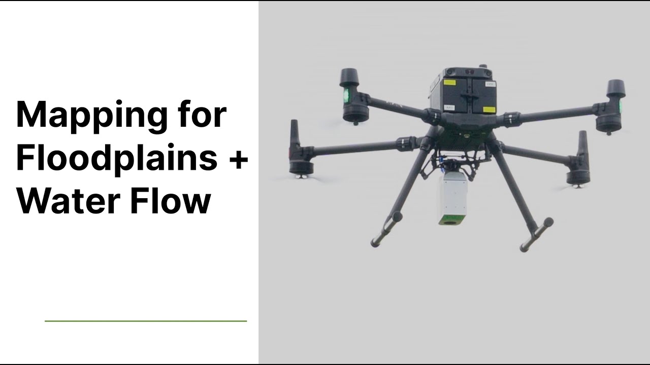
Best Drones for the Job: Several videos compare and contrast leading drones for precision mapping and surveying in 2024, highlighting key features and capabilities for optimal data acquisition. Brands like DJI, Autel, and Inspired Flight are discussed, with specific models like the DJI Matrice 350 RTK and Mavic 3 Enterprise series, Anzu Raptor, and the Inspired Flight IF800 mentioned for their surveying prowess. If you’re looking to invest in new equipment, this information is invaluable.
LiDAR Unleashed: One video focuses specifically on the transformative potential of LiDAR in topographic surveys. It explains how LiDAR, combined with drone platforms, delivers high-resolution imagery, dense point clouds, and detailed Digital Elevation Models (DEMs), revolutionizing projects in construction, environmental monitoring, and urban planning.
Mastering Drone Surveying: Rami Tamimi, a seasoned surveyor and geodetic engineer, offers a free one-hour masterclass covering the fundamentals of drone surveying. This resource is an excellent starting point for those new to the field or looking to brush up on essential concepts.
Real-World Applications: The videos showcase diverse use cases of high-precision drone surveying, demonstrating how this technology addresses challenges across multiple industries, from agriculture and infrastructure inspection to emergency response and urban development.
Beyond the Horizon: Where Drone Surveying is Headed
The rapid evolution of drone technology, coupled with advancements in LiDAR and photogrammetry software, points towards an even more exciting future for high-precision drone surveying. Expect to see even more compact and affordable yet powerful drones equipped with advanced sensors hitting the market, making this technology accessible to a wider range of users. Integration with AI and machine learning will further automate data processing and analysis, delivering faster, more accurate, and more insightful mapping products. Furthermore, we can anticipate an increased demand for skilled drone pilots and data analysts specialized in high-precision surveying, opening up exciting new career opportunities within this dynamic field.
Chart Your Course: Explore the Latest in Drone Surveying
Ready to explore these insights in detail and elevate your surveying game? Scroll down to access the video highlights and unlock the potential of high-precision drone mapping!
Explore the highlighted videos below
FREE 1 HOUR DRONE SURVEY MASTER COURSERami Tamimi9,044 views | 424 | July 19 2024 19:59:58 (47 comments)[ Read more … ]
📢 WATCH THE REST OF THE 1 HOUR MASTER COURSE HERE – https://thesurveyschool.com/drone-masterclass
Visit The Survey School for resources to elevate your surveying career. Join our school to access courses, premium content, and a supportive community of professionals.
👤 Meet the Surveyor:
Hi there! My name is Rami Tamimi and I am a passionate surveyor and geodetic engineer. With over 10 years of experience in the land development industry, I have a wealth of knowledge to share. That’s why I started my own YouTube channel, educating others about the surveying and geospatial industry and showcasing exciting new technologies. Follow along as I share my expertise and keep up with the latest innovations in my field.
For more information and the latest pricing, visit:
https://www.dronefly.com/
Check out https://www.dronefly.com for all of your enterprise drone needs!
🍁 𝐀𝐁𝐎𝐔𝐓 𝐃𝐑𝐎𝐍𝐄𝐅𝐋𝐘 🍁
Our channel is about industrial drones. Dronefly’s official YouTube channel is home to everything industrial drone (UAV). Showcasing tutorials, education, and use cases of aerial imaging with NDVI (agriculture), infrared (thermal), and zoom cameras.
🌟 𝐉𝐎𝐈𝐍 𝐃𝐑𝐎𝐍𝐄𝐅𝐋𝐘 🌟
https://www.youtube.com/channel/UCGZ-ZJ-j8SQHXTJYtNYa9vw/
🔔Don’t forget to subscribe!🔔
🎥𝐂𝐇𝐄𝐂𝐊 𝐎𝐔𝐓 𝐌𝐘 𝐎𝐓𝐇𝐄𝐑 𝐕𝐈𝐃𝐄𝐎𝐒🎥
➟ Anzu Raptor! – Overview | Dronefly
🔗https://youtu.be/xiCGcck2xbA
➟ DJI FlyCart 30 – Overview | Dronefly
🔗https://youtu.be/EX8F4dY086Y
➟ Autel EVO Lite Series Overview! | Dronefly
🔗https://youtu.be/JXhSl4lVN_k
Or check out our blog:
https://www.dronefly.com/blogs/
💌 𝐋𝐄𝐓’𝐒 𝐒𝐓𝐀𝐘 𝐈𝐍 𝐓𝐎𝐔𝐂𝐇 💌
Get updates or reach out to Get updates on our Social Media Profiles!
➟ Facebook:
🔗https://www.facebook.com/Dronefly/
➟ Twitter:
🔗https://twitter.com/dronefly?lang=en
➟ Instagram:
🔗https://www.instagram.com/dronefly/
Best Drones of 2024 – For Precision Mapping and Surveying | DroneflyDRONEFLY553 views | 12 | September 23 2024 16:00:05 (0 comments)[ Read more … ]
🌟In this video, Daniel gives you our top picks for the best precision mapping and surveying drones of 2024!
For more information and the latest pricing, visit:
https://www.dronefly.com/
Check out https://www.dronefly.com for all of your enterprise drone needs!
🍁 𝐀𝐁𝐎𝐔𝐓 𝐃𝐑𝐎𝐍𝐄𝐅𝐋𝐘 🍁
Our channel is about industrial drones. Dronefly’s official YouTube channel is home to everything industrial drone (UAV). Showcasing tutorials, education, and use cases of aerial imaging with NDVI (agriculture), infrared (thermal), and zoom cameras.
🌟 𝐉𝐎𝐈𝐍 𝐃𝐑𝐎𝐍𝐄𝐅𝐋𝐘 🌟
https://www.youtube.com/channel/UCGZ-ZJ-j8SQHXTJYtNYa9vw/
🔔Don’t forget to subscribe!🔔
🎥𝐂𝐇𝐄𝐂𝐊 𝐎𝐔𝐓 𝐌𝐘 𝐎𝐓𝐇𝐄𝐑 𝐕𝐈𝐃𝐄𝐎𝐒🎥
➟ Anzu Raptor! – Overview | Dronefly
🔗https://youtu.be/xiCGcck2xbA
➟ DJI FlyCart 30 – Overview | Dronefly
🔗https://youtu.be/EX8F4dY086Y
➟ Autel EVO Lite Series Overview! | Dronefly
🔗https://youtu.be/JXhSl4lVN_k
Or check out our blog:
https://www.dronefly.com/blogs/
💌 𝐋𝐄𝐓’𝐒 𝐒𝐓𝐀𝐘 𝐈𝐍 𝐓𝐎𝐔𝐂𝐇 💌
Get updates or reach out to Get updates on our Social Media Profiles!
➟ Facebook:
🔗https://www.facebook.com/Dronefly/
➟ Twitter:
🔗https://twitter.com/dronefly?lang=en
➟ Instagram:
🔗https://www.instagram.com/dronefly/
Unleash the Power of Precision with LiDAR Topographic SurveysDJI Academy332 views | 9 | November 28 2024 08:01:41 (0 comments)[ Read more … ]
Learn how to effectively harness the incredible power of LiDAR surveys for a wide range of construction, environmental, and urban planning projects. Discover the numerous benefits of high-resolution drone imagery, extensive point cloud data, and detailed digital elevation models (DEM) to significantly enhance the precision and overall success of your project endeavors.
Advertisement
The Best Precision Mapping & Surveying Drones of 2024 | DSLRProsDSLRPros2,801 views | 0 | August 12 2024 16:00:52 (2 comments)[ Read more … ]
Today we take a look at the best precision mapping and surveying drones of 2024!
Visit https://www.dslrpros.com/ for more information on these incredible drones!
Thanks for watching this video
The Best Precision Mapping & Surveying Drones of 2024 | DSLRPros
📜 About Our Channel 📜
With innovation and technology, our drone experts are continually pushing the limits to provide curated solutions that are rarely found anywhere else. DSLRPros specializes in drone solutions for industrial applications. Whether you’re a first responder or a farmer, we have the right drone for you. We utilize drones to carry thermal cameras for search and rescue and equipment inspection, with a focus on aerial thermal imaging.
Check out our channel here:
https://www.youtube.com/c/Dslrpros/featured
🔔Don’t forget to subscribe🔔
📌CHECK OUT OUR OTHER VIDEOS
➡️Anzu Raptor Drones – First Look! | DSLRPros
🔗https://youtu.be/FM1jsSxuBKg
➡️DJI Dock 2 – First Look! | DSLRPros
🔗https://www.youtube.com/watch?v=xpi0X8JlMcQ
➡️DJI Mavic 3T vs DJI Matrice 30T – DSLRPros Versus
🔗https://youtu.be/Mg_cLkLHwT4
➡️An Introduction to Drone Deploy for Mapping | DSLRPros – Training
🔗https://youtu.be/JGMSzdD_Vzs
➡️Autel EVO Max 4T – First Look | DSLRPros
🔗https://youtu.be/u8wrWOlGWzQ
We sell these awesome products, check them out here:
🔗https://www.dslrpros.com/online-store.html
🔗https://www.dslrpros.com/drones.html
🔗https://www.dslrpros.com/optics.html
🔗https://www.dslrpros.com/accessories.html
🔗https://www.dslrpros.com/software.html
FIND US AT🔍
🔗https://www.dslrpros.com/
FOLLOW US ON SOCIAL
Get updates or reach out to Get updates on our Social Media Profiles!
➡️Facebook
🔗https://www.facebook.com/DSLRPros
➡️Twitter
🔗https://twitter.com/DSLRPros
➡️Instagram
🔗https://www.instagram.com/dslr_pros/
➡️LinkedIn
🔗https://www.linkedin.com/company/dslrpros-com
Important Articles
➡️HOW TO GET FUNDING FOR YOUR DRONE (UAV) PROGRAM! 🔗https://www.dslrpros.com/dslrpros-blog/funding-grant-drone-uav-program-police/
➡️Payloads For Drones In Emergency Response: Guide To What UAVs Carry
🔗https://www.dslrpros.com/dslrpros-blog/payloads-for-drones-in-emergency-response-guide-to-what-uavs-carry/
➡️The Best 12 Drones for Police in 2024: Full Guide, Reviews And Feature Breakdown
🔗https://www.dslrpros.com/dslrpros-blog/best-12-police-drones-in-2024-full-reviews-and-features/
➡️A Glossary of Drone Terminology and Vocabulary
🔗https://www.dslrpros.com/dslrpros-blog/drone-vocabulary-glossary-terminology/
The Secrets To Improve Accuracy In Your Drone SurveysCoptrz453 views | 16 | August 14 2024 13:45:45 (0 comments)[ Read more … ]
Settling for less accurate data in your drone surveys? Confused about why your surveys aren’t coming out as you want them to? You don’t want to miss our webinar that reveals the insider tips for securing high-quality drone survey results.
In just half an hour, UAV Surveying Strategist Niamh Craven will cover:
1. The best tips for achieving survey-grade accuracy
2. How to reduce survey downtime by 50%
3. The biggest accuracy mistakes to avoid
4. The best hardware options
If you found this video informative and valuable, please give it a thumbs up, share it with your network, and don’t forget to subscribe for more content!
Advertisement
About the Author
Patryk Alexander is an associate copy editor at 4kVideoDrones.com, where he sharpens articles and helps keep the website's content clean and error-free. With a background in creative writing, Patryk brings a unique perspective to his editing that helps make 4kVideoDrones.com's content engaging and informative. When he's not editing or writing, Patryk enjoys spending time with his family and exploring the great outdoors.